The legs were sore after the Drumochter 4 escapade on Sunday but nothing alarming to prevent plans for the next couple of days from going ahead.
On Monday, I ventured out in the packraft onto Loch Morlich for a very enjoyable couple of hours. There was no wind, nice views and I just pottered about the shoreline and chilled.
Tuesday arrived with a mixed forecast. Not much chance of clear skies it seemed but no rain forecast and minimal wind. The temperatures continued to be mild too and cloud cover was to be around 800-1,000 metres. For the Cairngorms that amounts to a very good forecast so all systems go for run two of the trip.
I have ventured up onto the plateau from Glen Feshie before, but it was a much shorter route than the one I had planned, although the starting point and initial climb would be the same. One of the main additions was the out and back to Sgor Gaoith, a summit that sits between Glen Feshie and Glen Einich, towering over Loch Einich below it to the east. I have not been up there before, but I wanted to see the view.
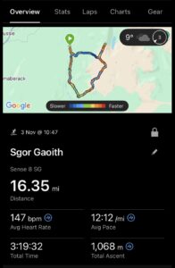
This would be a longer route of around 16 miles but with plenty of good running. I hoped for some views but would just need to wait and see what the weather would deliver. It looked like the weather would settle a little by late morning so I was in no rush to start.
I whiled away time in the morning then got kitted up before driving down through Kincraig to the donation car park at the road end at Achlean.
It was a little before 1100 when I set off on a nice slow trot along the half mile or so of tarmac before reaching the gate that marks the start of the route proper.
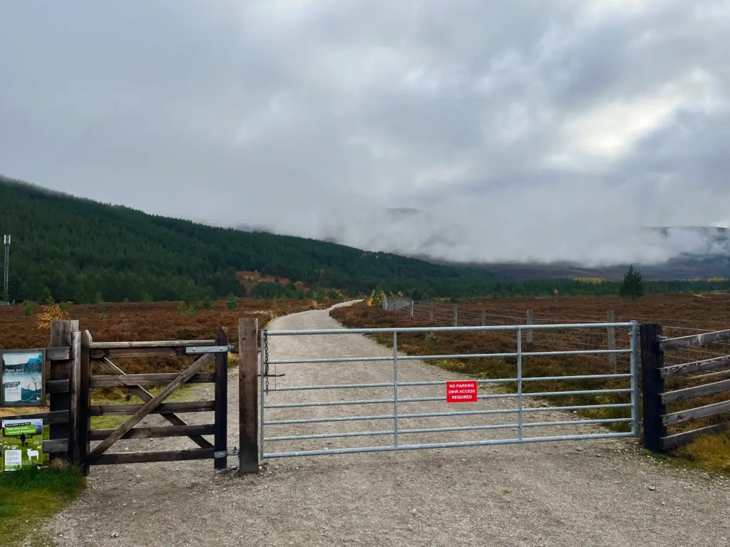
Before long, I was trudging upwards on the well-maintained single-track path that winds its way up through the coniferous woodland. It was a gentle gradient that allowed for a progressive pace.
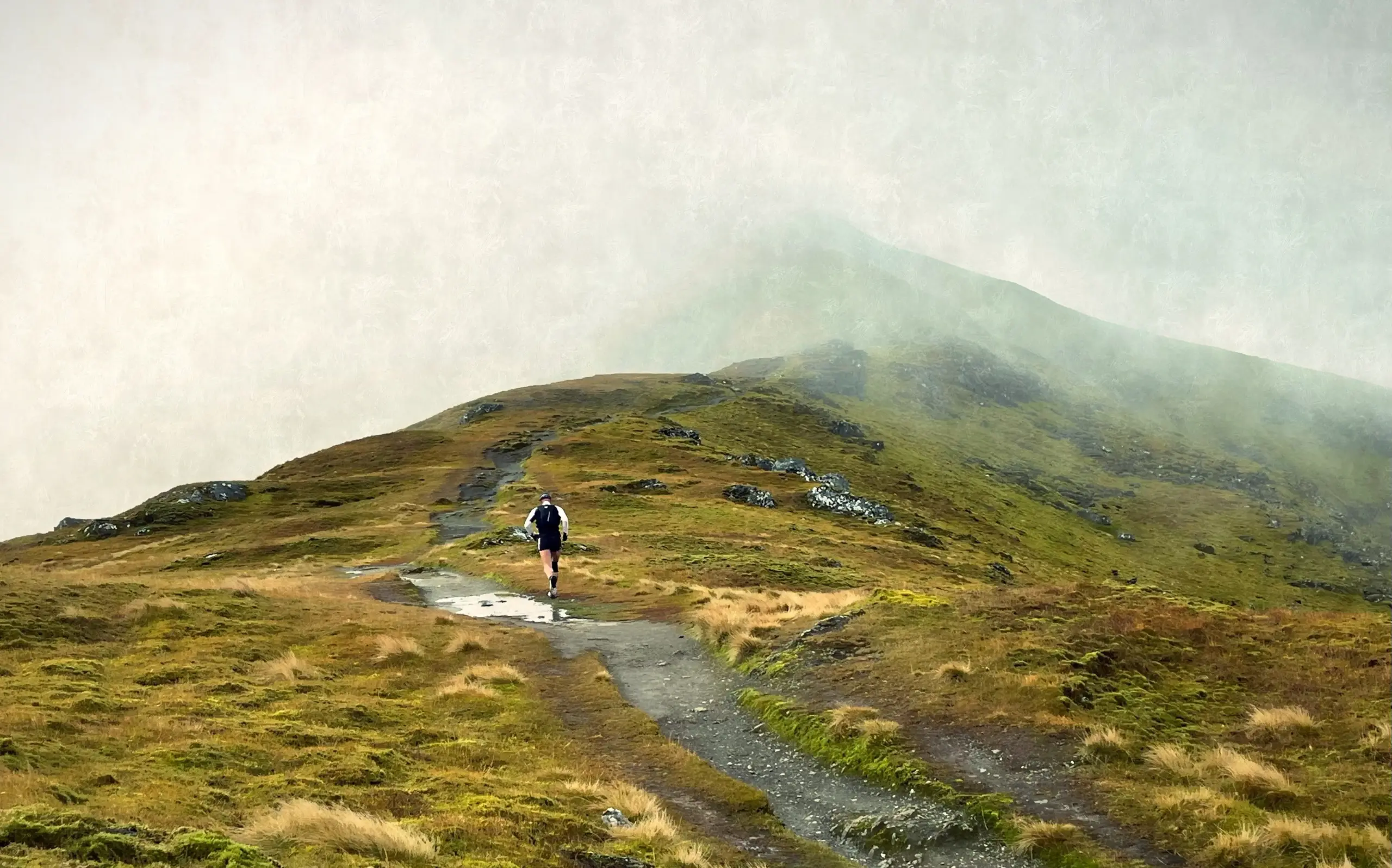
Soon, I broke clear of the treeline and was greeted with the first of the cloud. Not impenetrable but enough to hamper visibility and create a moodiness about the hillside.
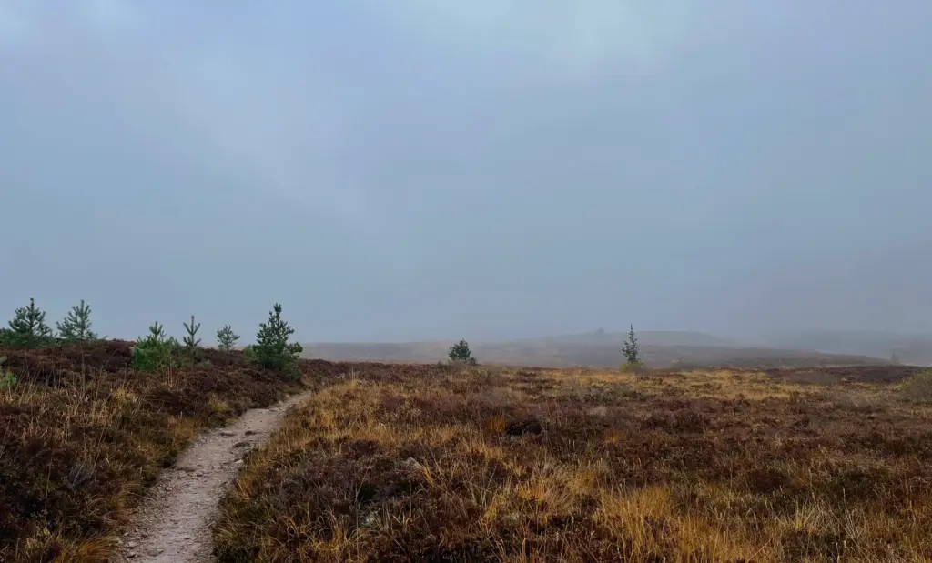
The climb is never steep, but it is relentless with a lot of stone steps to break your rhythm. It is however a long way up, nearly two and a half miles from the bottom up to the plateau.
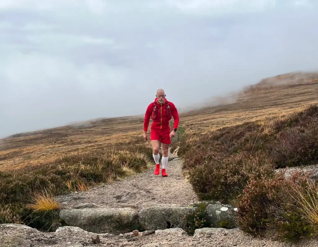
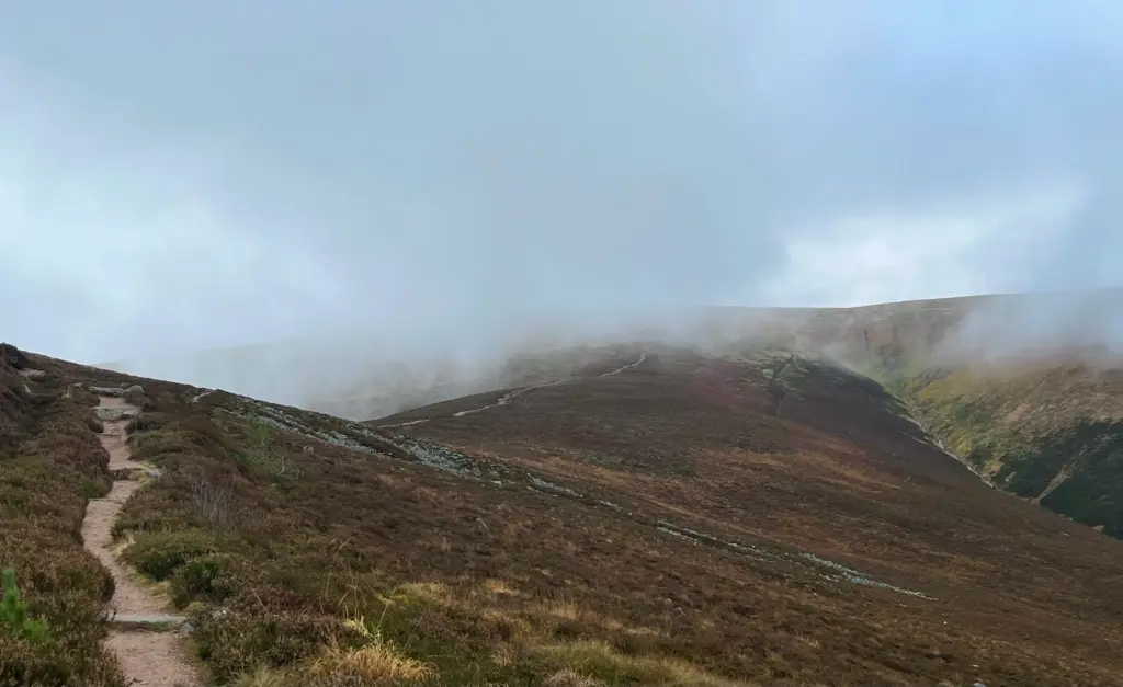
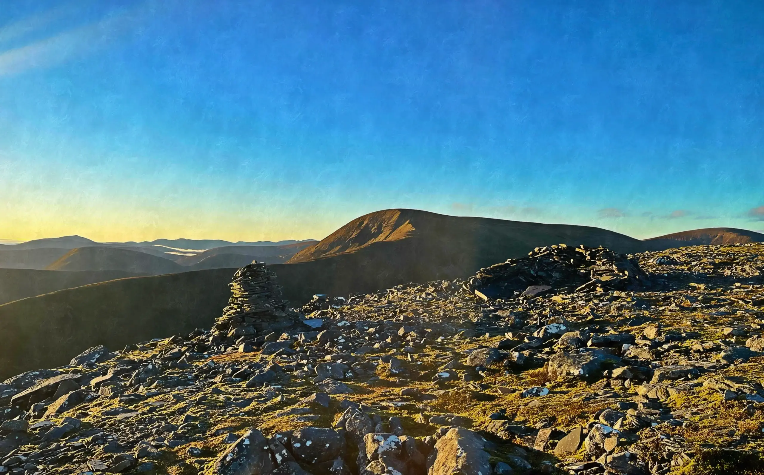
As the path finally levels out at the top, there is a free-flowing water source to the right, so I took a good drink and topped up my flask. Then I cut up left on the grassy path that links to the main foot track up to Carn Ban Mor. The summit shelter eventually came into view. This is otherwise a featureless mound. Not sure how it even qualifies as a Munro top (subsidiary to Sgor Gaoith) but it apparently does for anyone who is interested.
I breezed straight on, down the gentle slope which allowed for some fairly fast running, particularly if the path verge was used to avoid the main rocky track. As I reached the dip, cloud swirled ominously over Sgor Gaoith ahead. Had I come all this way for nothing?
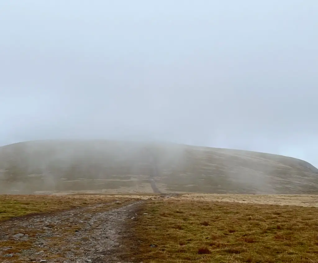
My worst fears were confirmed when I passed a group of four ladies walking towards me. They had been at the summit of Sgor Gaoith shortly before and said they couldn’t see a thing. I had come this far so I was going on regardless and I therefore ploughed on up the final slopes towards the top.
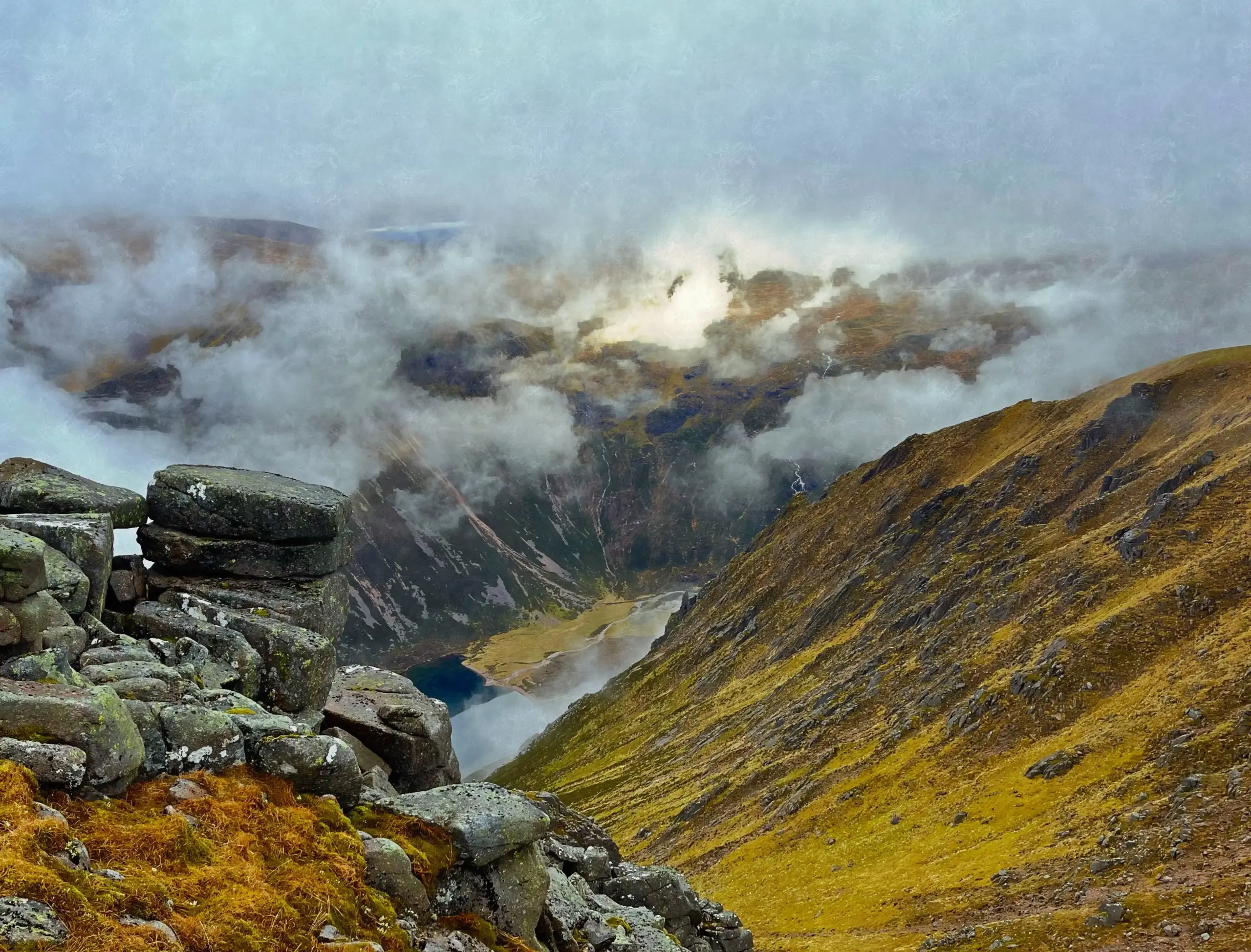
They say that if you don’t like the weather in Scotland, just wait five minutes. Never more true it seemed than today. As I approached the last little rise to the top, the path hugs the edge of the somewhat precipitous drop. The cloud started to clear and as I watched, the view down into the glen and to Loch Einich below opened up. The sun was illuminating patches of swirling cloud, and the result was an incredibly dramatic view, amongst the best I have ever encountered in Scotland.
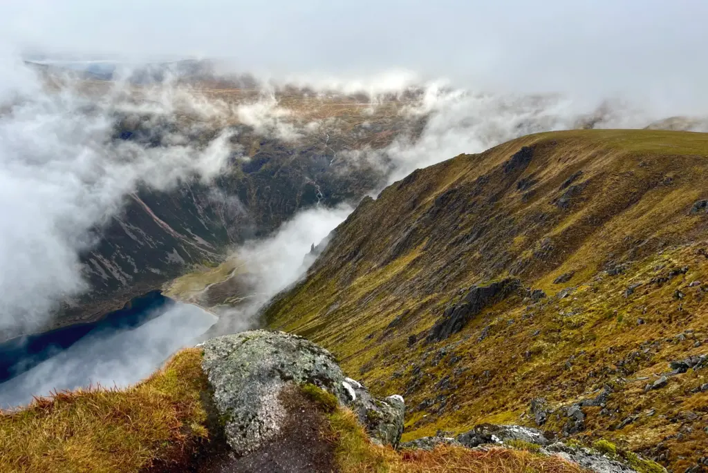
I took some photos then made my way up to the true summit, the top of a craggy outcrop that hovers over the drop to the east.
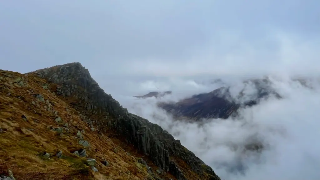
I admired the ever-shifting view for a short while then started back.
I enjoyed the run down off Sgor Gaoith and before long I was back at the cairn atop Carn Ban Mor.
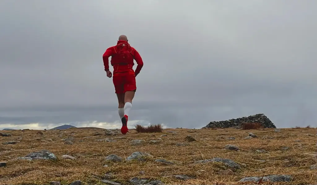
From there I headed down the main path to the confluence where I had first reached the plateau.
From there, I turned southeast and headed down the slope on a distinct ATV track. The running was good and I was making very good time as I headed into the heart of the Moine Mor plateau. After a mile or so, I reached Moine Mor itself and the gravel vehicle track that traverses the plateau. This was familiar from my previous visit and I turned onto the track, heading south.
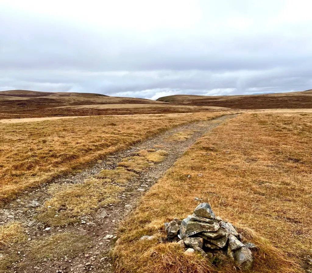
By now, the cloud had lifted considerably and was only patchy. The views across the plateau opened right up and I was really enjoying the running over the undulating landscape.
This track continued for another couple of miles. The track would occasionally drop to a water crossing and I would adopt a power hike up the other side, but it was mostly running which was great.
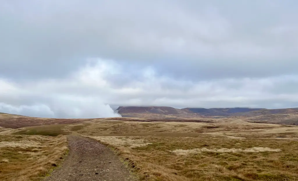
Eventually I reached the main track junction which is where I once again deviated from my previous route. By turning right, the track descends directly down into Glen Feshie, roughly to where the water crossing to Glen Feshie lodge is located. It is an easy but otherwise quite dull descent, and I had an alternative I wanted to try.
Thus, I turned left and headed about a half mile until I reached the grassy path which leads to the top of Mullach Clach A’ Bhlair. There is a very modest cairn on the dome-like top. After the run, I was surprised to find out that this is actually a Munro. This can only be by virtue of its height at 1,019 metres and its stand-alone location in the far southwest corner of the Moine Mor plateau. As you approach it, it is barely distinguishable from the surrounding terrain. I suppose some people will come up here just because it is a Munro. Whatever floats your boat, I suppose.
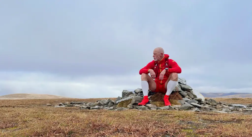
The reason I came this way was for the descent. The path continues over the other side of the top and winds its way down over some distance and very varied terrain back into Glen Feshie, just north of the Ruigh Aiteachain bothy.
I was feeling the cold on top so I put on my gloves and stuck my hood up for a while. Then, it was off at pace down the first of the downhill. This was great downhill running at full stretch.
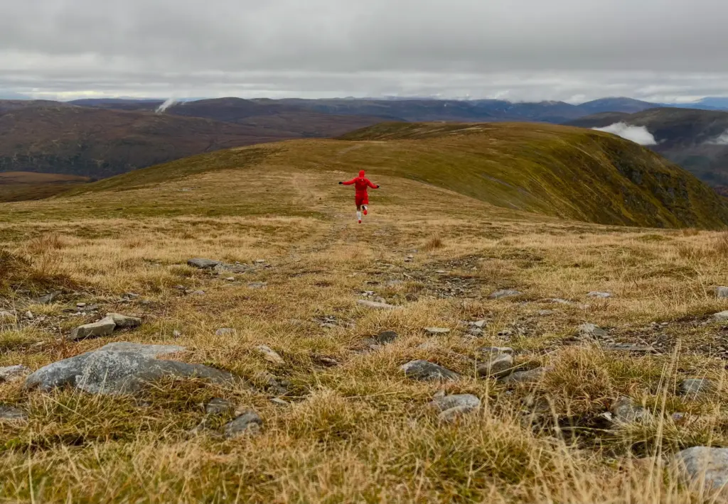
The track levelled off as it contoured across a broad ridge, changing to a more rocky, peaty landscape as I continued.
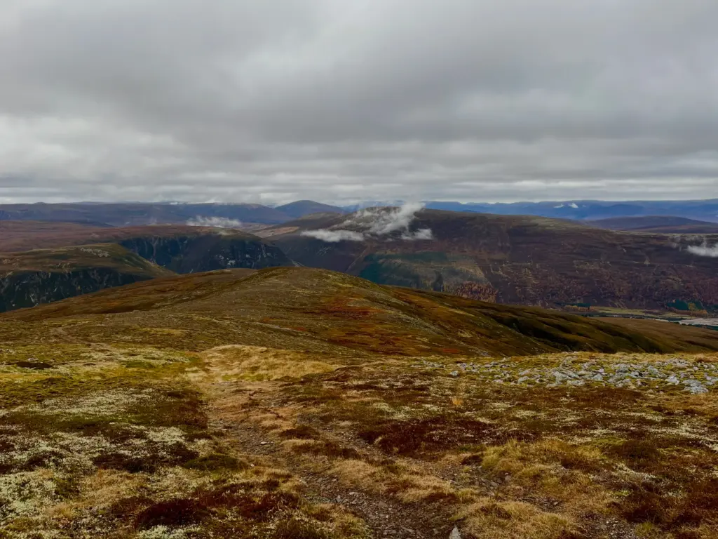
This slowed proceedings a little but it was still consistent running, with care.
Another downhill followed, rounding the hill and dropping to a lochan below. I crossed the outfall with dry feet and continued around the lochan before starting the final descent with Glen Feshie laid out down below.
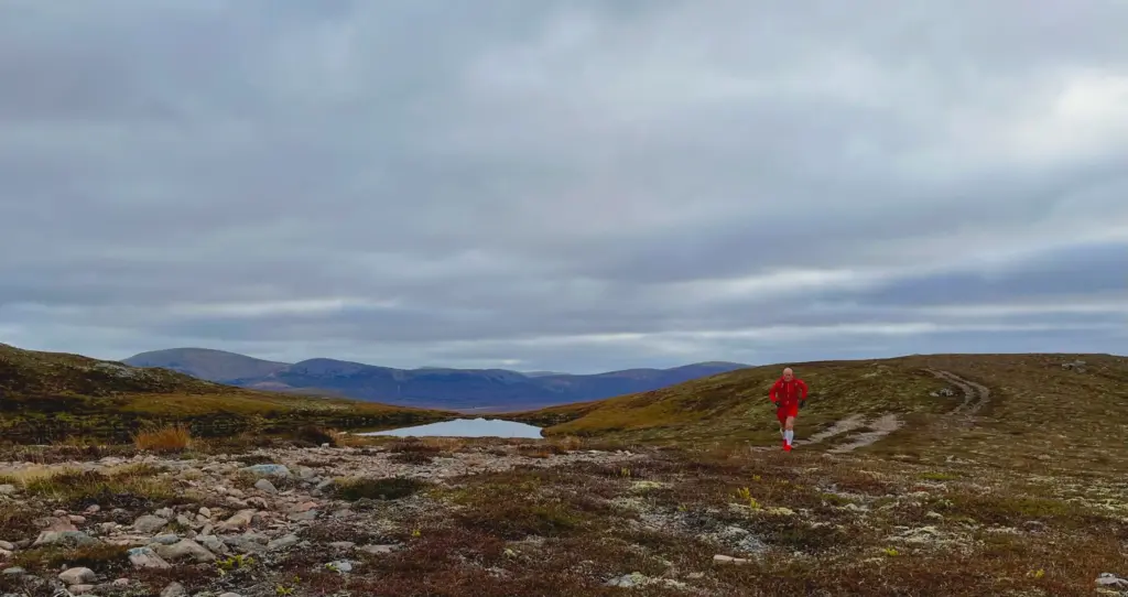
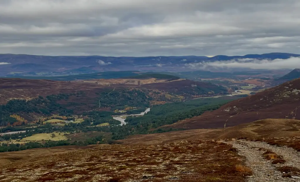
A wet, boggy section followed, and I then hit the treeline. The path ahead started to deviate from my Garmin track but I ignored the latter as any path downhill was going to take me where I wanted to go. This proved correct although the track I was on appeared to be a freshly bulldozed ATV track down through the heather. This actually worked for me as the path was springy with crushed and cut heather and made for great downhill running.
Eventually, I hit grass and before long I was on the main track in Glen Feshie. Only three miles or so to go!
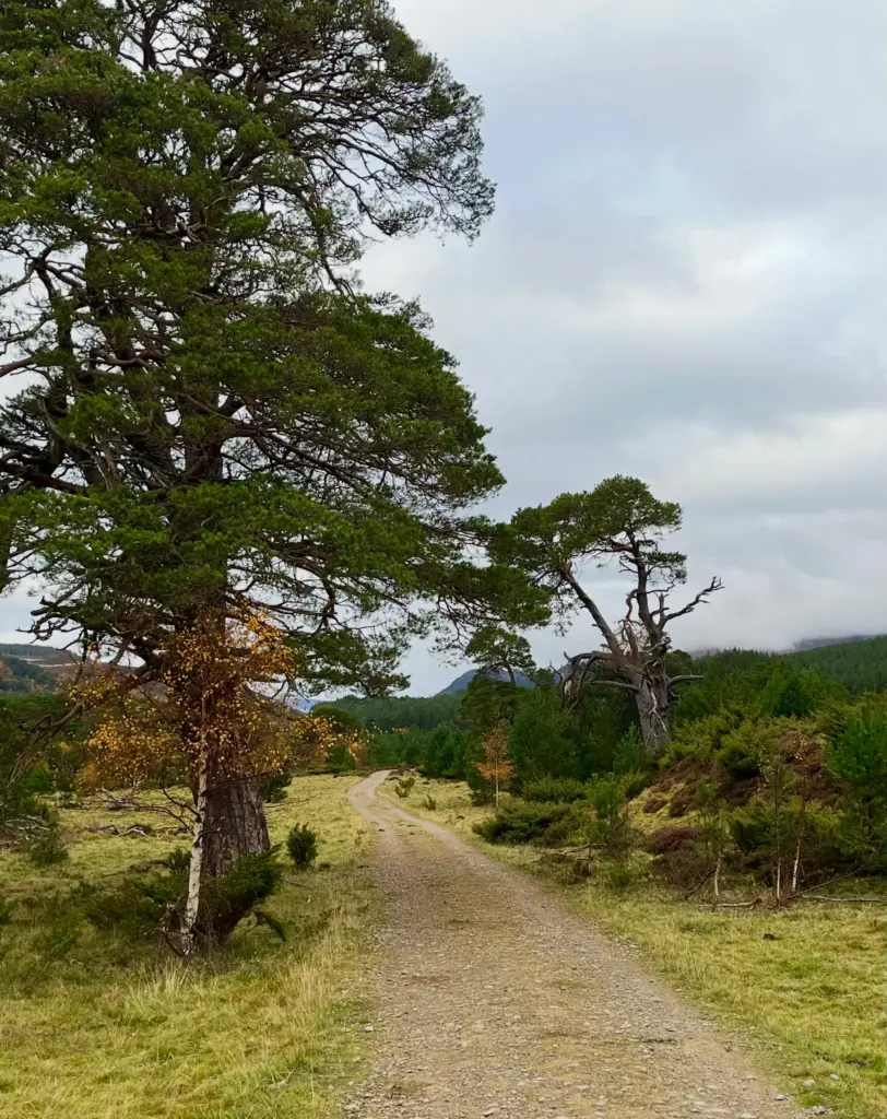
My legs were cooked after the long descent, so I took on some water, calories and electrolytes and started plodding north. Tired legs or not, I have always enjoyed the path up through Glen Feshie. It undulates considerably but the surface and the environment change continually making for a really interesting journey.
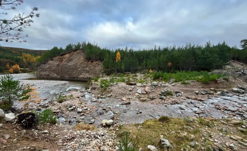
The calories kicked in and I started running more strongly, eating up the distance. I took the direct, wet route across the penultimate but largest water crossing.
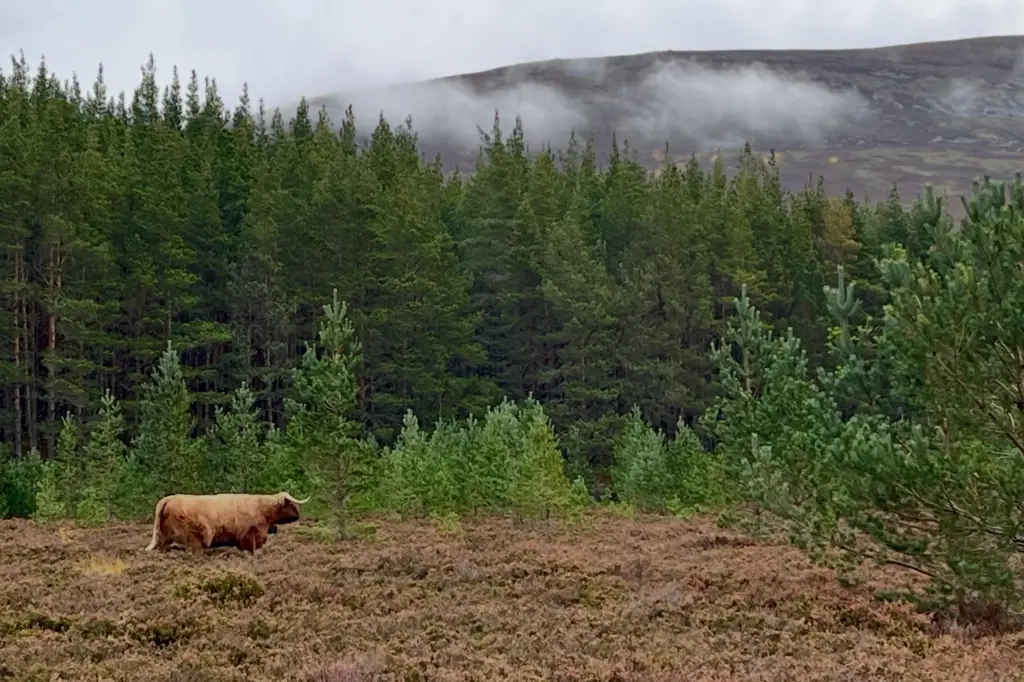
As I wound my way along the last mile or so of track, I came across a solitary Highland cow doing cow stuff in the heather alongside the path. I waited to see if it would come over but it had other business in mind and ignored me.
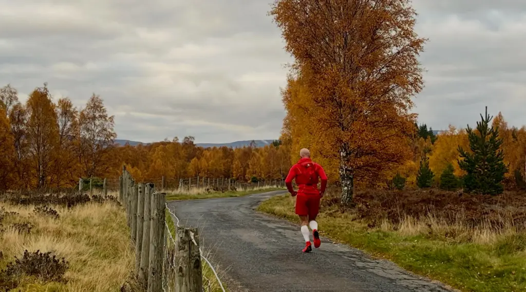
Finally, I hit the gravel track and found myself back at the gate where I had started in the morning. I even enjoyed the last little plod along the road to the car park. I think the very autumnal colours had a lot to do with that.
So, what of the day then?
It was a fantastic outing overall. Overall, 16 miles but much of it running and a lot over challenging terrain. Over 1,000 metres of elevation and descent. Great weather in the end and a view up at Sgor Gaoith that I will remember for some time. In summary, another short but very successful training trip.
I write this the day after. My Achilles and knee seem OK so I think I can pretty much start to ramp up my training from here. Nothing too outrageous but I would like to do some longer outings before the winter really starts to change hill conditions. I would also like to feel confident in doing some back-to-back days which will open up some overnight fastpacking opportunities. Finally though, I feel a glimmer of consistent progress.