At risk of sounding like a broken record, I was pleased with the outcomes of the Aberfeldy training trip a couple of weeks ago, but, the upward trajectory has not been constant since. I ran about 13 miles on tarmac last weekend and by the end, my right Achilles was starting to hurt a little. Not great so I rested it the remainder of the week, doing a little stretching at home to keep it mobile.
Undeterred, another fine weather window opened up from the weekend of Saturday 31 October, right through until later the following week. Not only here in Dundee, but almost everywhere I might fancy going to. Another getaway was therefore certain but where was the question.
I toyed with the notion of heading down to the Lake District but in the end, I decided it was just a little too far for only a few days and with the question mark hanging over my Achilles. I needed somewhere a little closer to home where it wouldn’t feel like a complete disaster if things didn’t go well. In the end it came down to Braemar or Aviemore and Aviemore won. I have never had a crap running trip to that area and it always benefits from a number of reliable factors.
Great runs over any desired distance and incorporating as much or as little elevation as one might want. Good local facilities and a few locations where I can packraft on non-running days. The camp site at Dalraddy is open year-round and I always enjoy staying there.
So, I decided to head up early on Sunday and to run on the way up to Aviemore. That would make best use of the day but more importantly, if the worst-case scenario occurred and my Achilles failed me, I could simply sulk and return home.
The run on the northbound journey was an easy decision, especially considering the very favourable weather forecast. Not a new route but, one I have been looking forward to repeating.
The Drumochter Four, aka the west Drumochter Munros (Geal Charn, A’ Mharconaich, Beinn Udlamain & Sgairneach Mhor).
These four hills lie to the west of the A9, several miles south of Dalwhinnie. They form a great circuit with plenty of good running once the initial climb up Geal Charn is completed. There are also a couple of decent escape routes should things not go well. I first did the route about three years ago in very pleasant, sunny May weather.
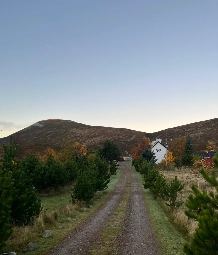
I left Dundee in the dark on Sunday morning but the roads were quiet and I made good progress, arriving at the car park at Balsporran B&B just before 0730. The skies were clear and a decent sunrise seemed likely so no time to waste.
I kitted up and headed past the B&B and over the railway line, running slowly along the rocky track to the turn off for the Geal Charn path off to the right.
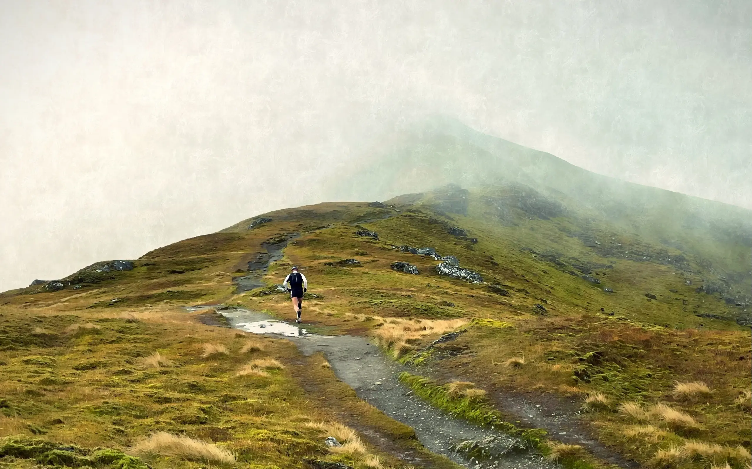
The first climb is steep and rocky but soon gives way to a much peatier, boggier affair for the second third of the ascent. This was slow progress as the ground was slippery and waterlogged. There are numerous little paths created by walkers trying to avoid the worst of the slop, so it was a lottery to find a drier, firmer footing. However, the section soon passed and the ground started to firm up again and become more distinct underfoot. There was barely a breath of wind and the sun was coming up in the east, so I had no need of a further layer as I climbed.
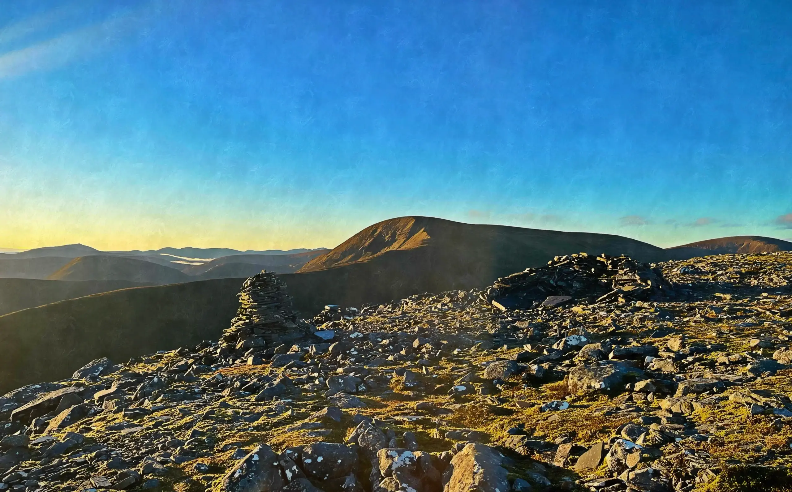
Eventually I reached the cairns. These look from below as if they might be the summit but this couldn’t be further from the truth. The gradient does level off but the summit is still a distance off to the west but clearly visible in the crisp morning air.
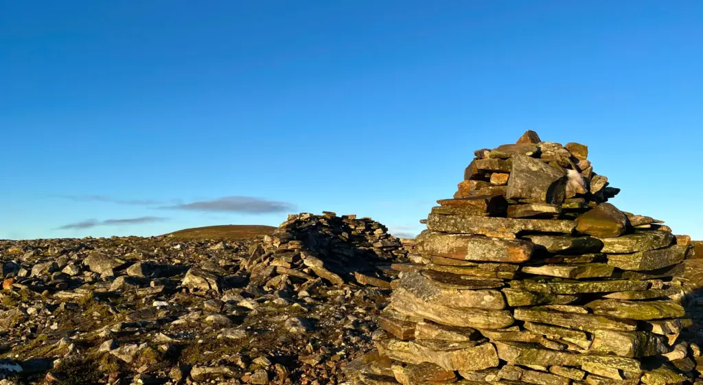
This was the first running section, and I made good progress across the plateau then up the last rockier section to the summit cairn.
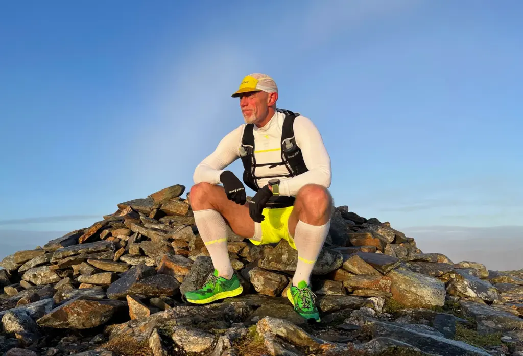
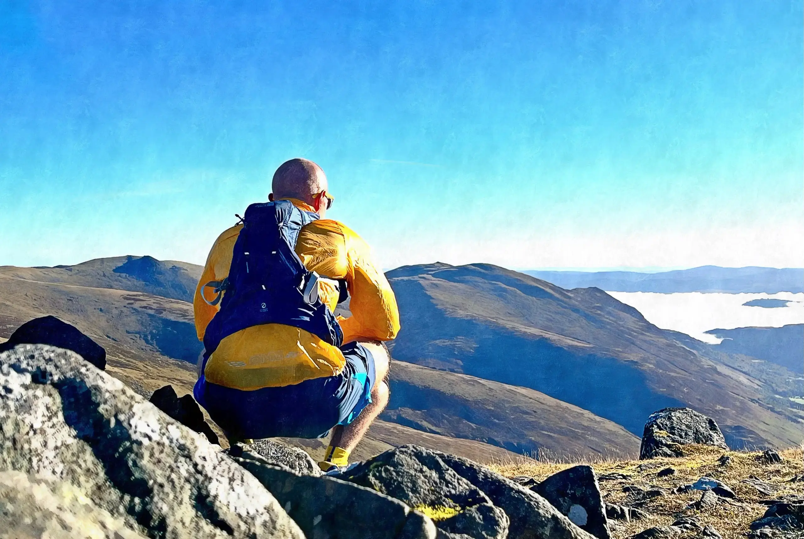
By now, I was in sunshine and the clouds were holding off for now. The views to the southwest over Loch Ericht to the Ben Alder range were a treat.
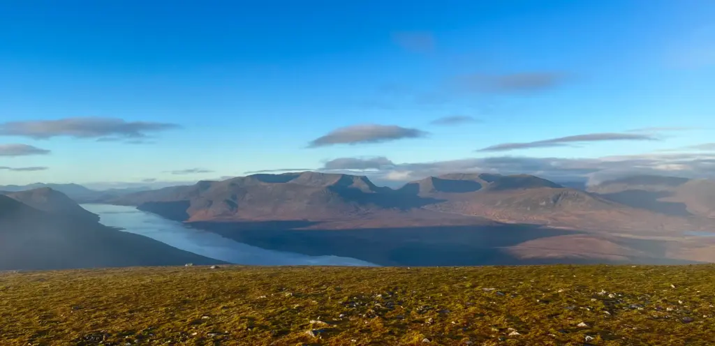
To the south, I also had a clear view of my next waypoints, A’ Mharconaich, Beinn Udlamain and Beinn Udlamain.
I headed off the top of Geal Charn although the path is barely visible on the rocky ground. As soon as a path materialised it vanished again but no matter. Visibility being what it was, it was simply a case of pressing on downhill taking a southwest bearing.
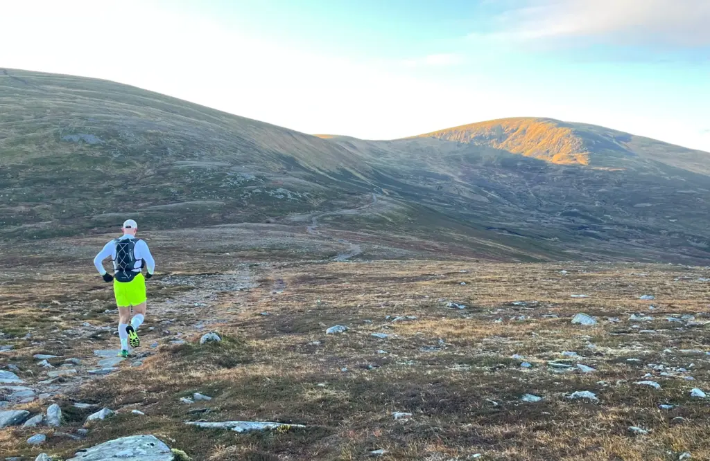
Soon, the path materialised again and the 4×4 track was approaching below.
On reaching the track, there are only a few hundred metres of running before the single track path up to A’ Mharconaich goes off to the right.
This path starts well, winding up the hillside on a well-made, drained path. About halfway up, the path became broader and grassier and soon the top was reached at the old boundary fenceline. Here I took a sharp left onto the distinct and very runnable path which heads back east along the broad ridge to the summit. This was good running although there was a chilly breeze on top which kept me moving purposefully forward.
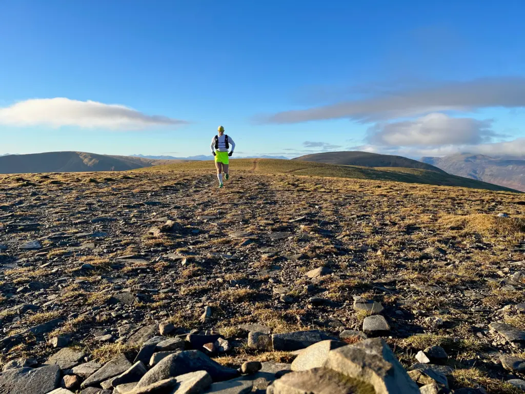
The first summit cairn (the true summit) was reached, and I paused briefly for some water and calories but it was cold and I didn’t hang around long. In any event, I was looking forward to the next section which is the best running of the day.
The path is retraced for a short distance until a Y junction is reached and the left fork is taken. This climbs a slight rise in the ridge whereupon the view towards Ben Udlamain opens up ahead.
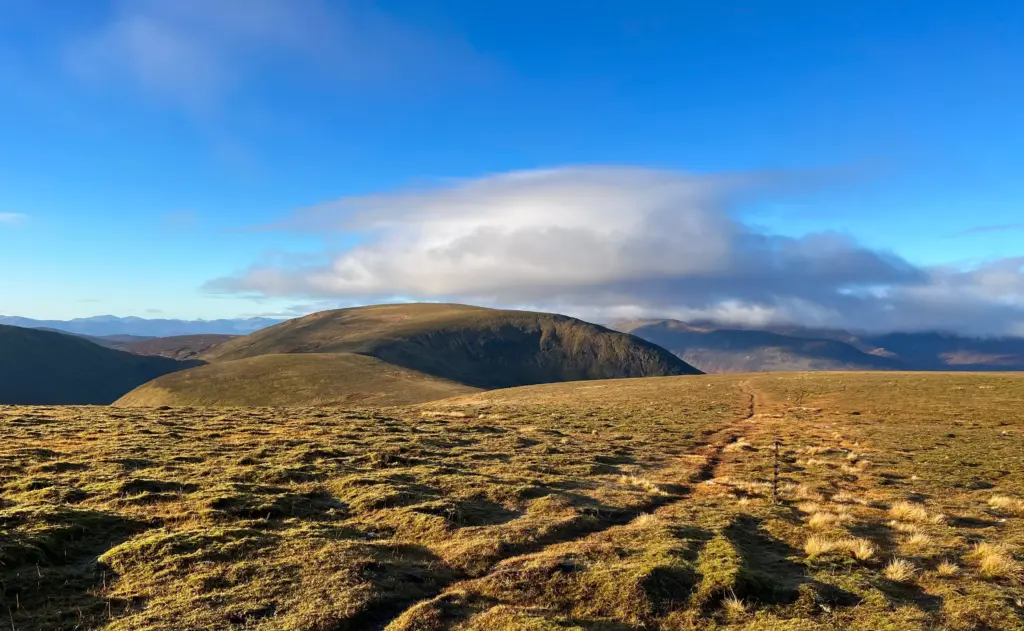
The path is largely obstacle free and hugs the old fence line. I was running well at this point with no hint of my Achilles causing problems. I made good time, starting the descent towards the bealach before the climb to Ben Udlamain.
Before long I was climbing although the gradient and surface allowed for good progress. I hit the first top then veered left, up the last rise before the summit which was now visible. I passed a walker coming off the hill and we chatted briefly before I took on the last rockier distance to the summit. This is quite a substantial summit with a cairn, stone wind shelter and a large jumble of old metal fence posts.
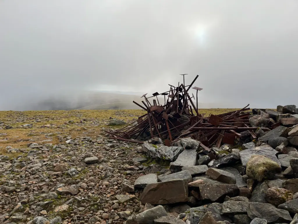
Also, the high point of the day at 1,011 metres. The bad news is that a bank of cloud was coming over from the west and I was starting to lose visibility, particularly over towards the next and final summit, Sgairneach Mhor.
Once again, the biting breeze got the better of me and I headed off the summit, to the southwest. I knew this was a deceptively long descent over mixed, challenging ground. It started like the descent off Geal Charn with a faint track over very rocky ground. This changed as the gradient steepened and it became a winding downward track of mud and rock. However, good progress was possible by taking the best line, sometimes cutting corners across the high grass.
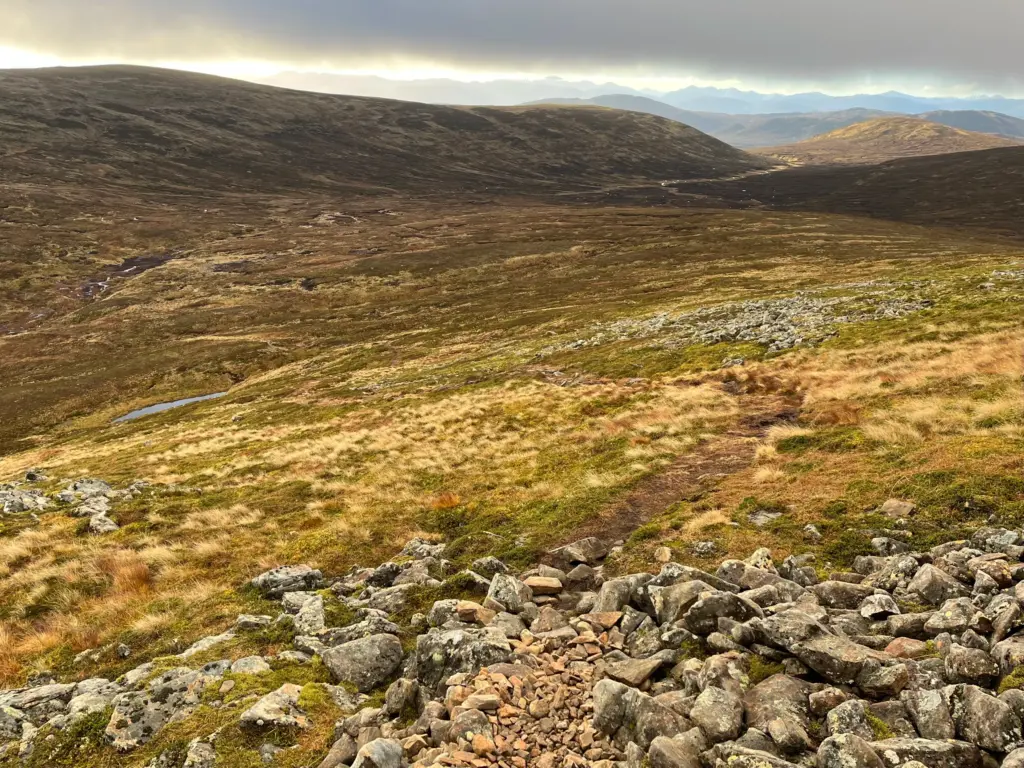
I reached the bealach where I also knew there would be running water so I took a good drink and topped up my flasks before heading up the start of the final climb of the day.
The single-track path is easily followed. However, the gradient eases off onto a broad grass and heather hillside. Here too, the cloud was down and visibility was somewhat reduced. However, I knew from my last visit that one then cuts off to the right. It is pathless but there are a couple of large rocks on the skyline which provide a perfect target to aim for.
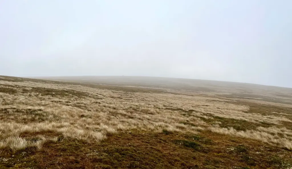
Fortunately, there was just enough clarity to see the rocks and the ground is surprisingly firm here so the traverse across and up the hillside was quick. Just past the large boulders, the distinctive track to the summit of Sgairneach Mhor commences. This track does climb a little but was largely runnable all the way to the summit in the clouds. I reached the top in just over two hours which seemed pretty good considering this was the fourth summit of the day.
There was a small group at the summit and we chatted briefly. However, there being no view whatsoever, I forced down some more calories and headed off towards the south summit.
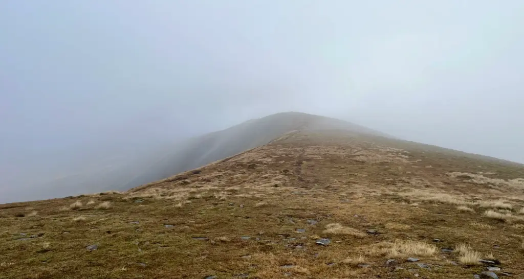
Moving past the south summit, I began the proper descent and all of a sudden, I was below the cloud, and it was once more a fantastic sunny day. I very much enjoyed the run down, although a lot of concentration is required on the very technical ground. I was also aware that enjoyment was likely to be short lived!
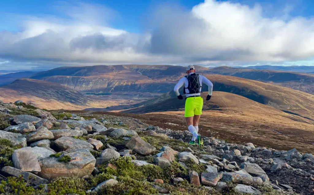
I reached the path junction and turned off left onto the path that contours around the smaller hill to the west of the Sow of Atholl. However, I remembered that this path was horrendously wet and boggy, all the way downhill to the vehicle track below. Today was no different and it was about a mile of interminable slippery mud, slick wet grass and rocks. I made progress as well as I could, but it was frustrating at best and I slid onto my arse on a few occasions.
The arrival at the track and the bridge across the burn was most welcome. I took a short break here for some water and to change my hat for my sunglasses, then enjoyed the run all the way down the track until I eventually reached the cycle path adjacent to the A9.
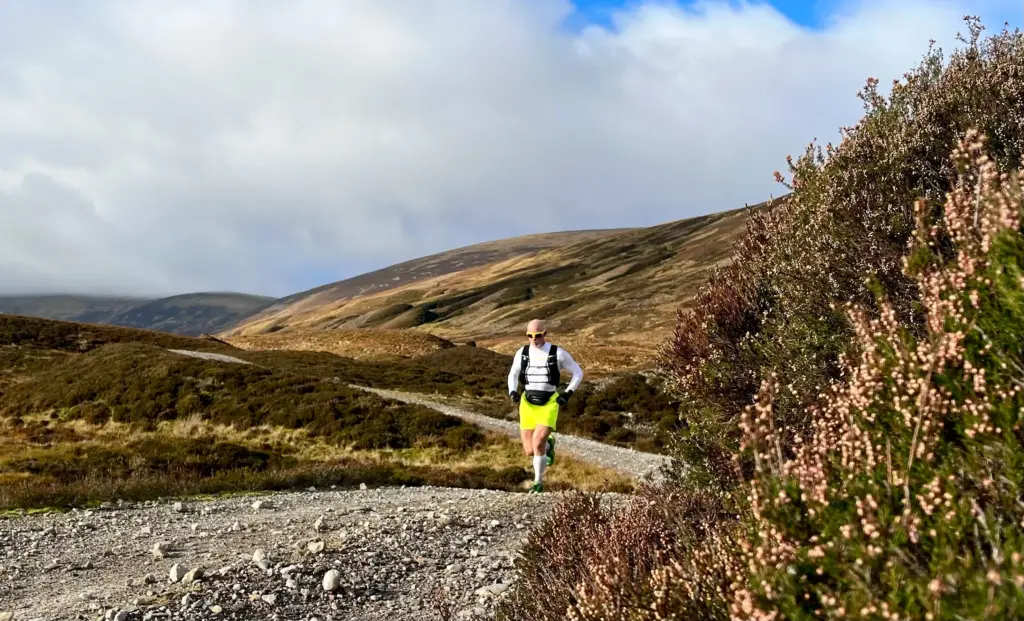
I believe a lot of cheats leave a bike or second vehicle here but no such nonsense for me. No, I would have to endure the hard plod for the final 2.5 miles back along the A9 to Balsporran. In fairness, in the sun and pleasant temperatures, it wasn’t the worst running although the traffic noise does shatter the tranquility.
Eventually, I was on the last half mile with the B&B in sight and I injected a bit of pace to finish things off.
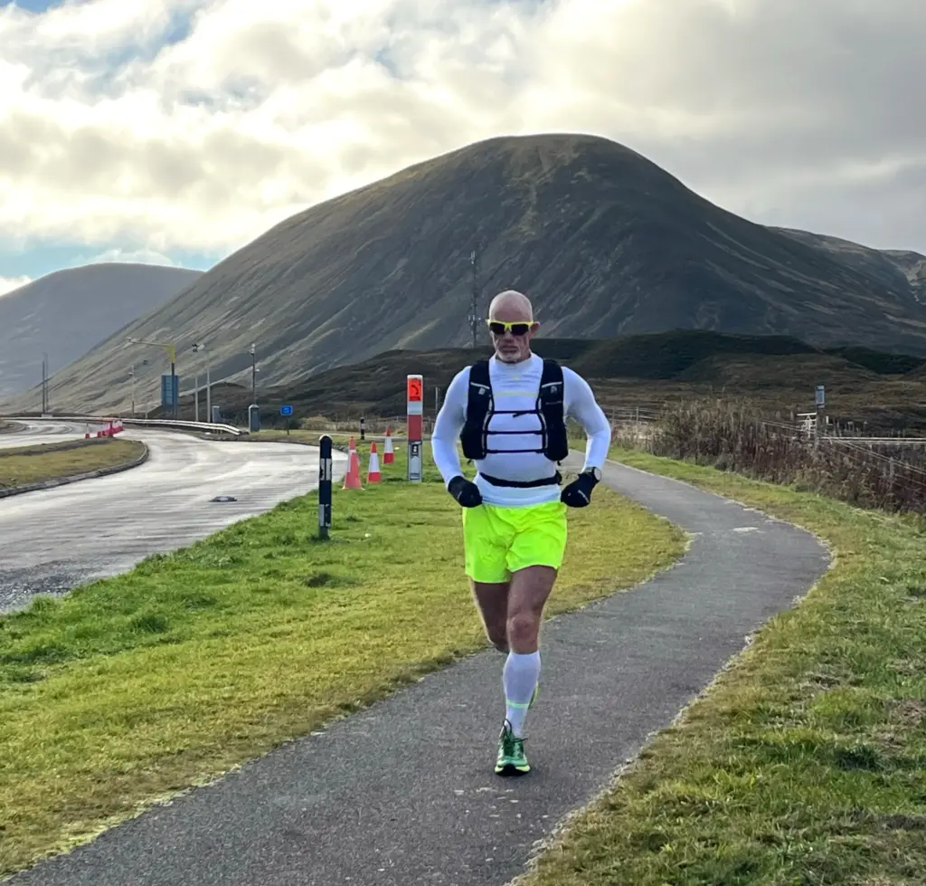
All things considered, a good news story.
My right knee and achilles were never completely comfortable but I was running well without undue pain or impediment and that was much better than my worst fears. The weather had been excellent. Over one thousand metres of elevation was achieved with some good, prolonged sections of running.
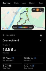
Overall, a very positive and enjoyable run on a route which I am glad I have now repeated.