As we left things in the last archipelago instalment, I had very much enjoyed everything that the small island of Bullerön had to offer.
My plan had always been to spend only one night there, then to move on over one or two days to my next destination, the island of Sandön. However, the prevailing wind strength and direction from Sunday was forecasted to carry forward into Monday. A stiff breeze fluctuating from north to northwest. The issue was that Sandön lies about six to seven miles NNE of Bullerön and with the exception of some scattered small islands of the outer archipelago, it is pretty much open water.
I had always wanted to go through these outer skerries, but the weather simply made this inadvisable, in my opinion. I had no intention of losing a day so I plotted a crescent-shaped course that would take me north then east in more sheltered waters and with more islands to break the journey and the sea state.
Thus, shortly before 1000 hours, I loaded up the wheelbarrow, headed for the jetty and set up for travel.
I won’t go into the paddle in any great detail, but it wasn’t easy. In unsheltered water I was paddling directly into the wind and swell with the longest open water crossing being about 3 kms.
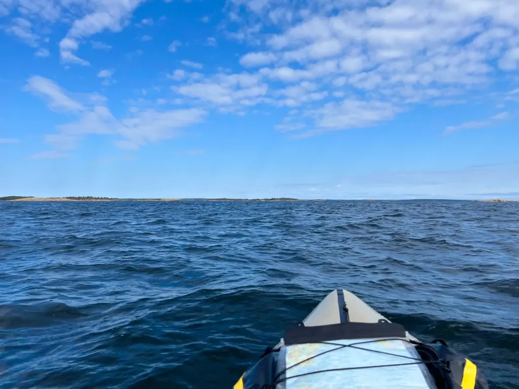
However, after nearly four and a half hours in the boat, I reached the calmer waters off the west side of Sandön.
The island is called Sandön but is more often referred to colloquially as Sandhamn after the main settlement and harbour on the east side of the island. There is a small resident population, but numbers swell massively over the summer months, supplemented even more by visiting yachts, day-trippers and miscellaneous idiots in small inflatable boats.
Sandhamn has an important sailing culture, with a strong presence from the Royal Swedish Yacht Club (KSSS) as well as hosting the Gotland Runt week in June/July each year. The Gotland Runt is the world’s largest annual offshore yacht race.
It is not a big island, the interior of which is almost entirely covered in pine forest with a variety of paths and trails cutting through it.
The even better news for me, on arrival, was that there was a great weather forecast for the next three days. Lesser winds, higher temperatures (low 20s) and sun! Anyway, back to the story.
I paddled down the west shore, in the knowledge that about halfway there was a break in the beach-side homes and the possibility of a nice quiet camp spot by the shore. I found what looked just right and so it turned out to be. A nice flat tent spot, sheltered by trees and facing the water and the west for evening sun.
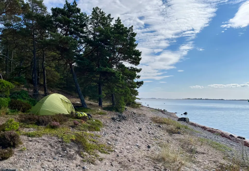
As things turned out, it would be about 15 minutes walk through the forest to the ‘town’ where there is a pub/restaurant, café, grocery store, toilets etc etc.
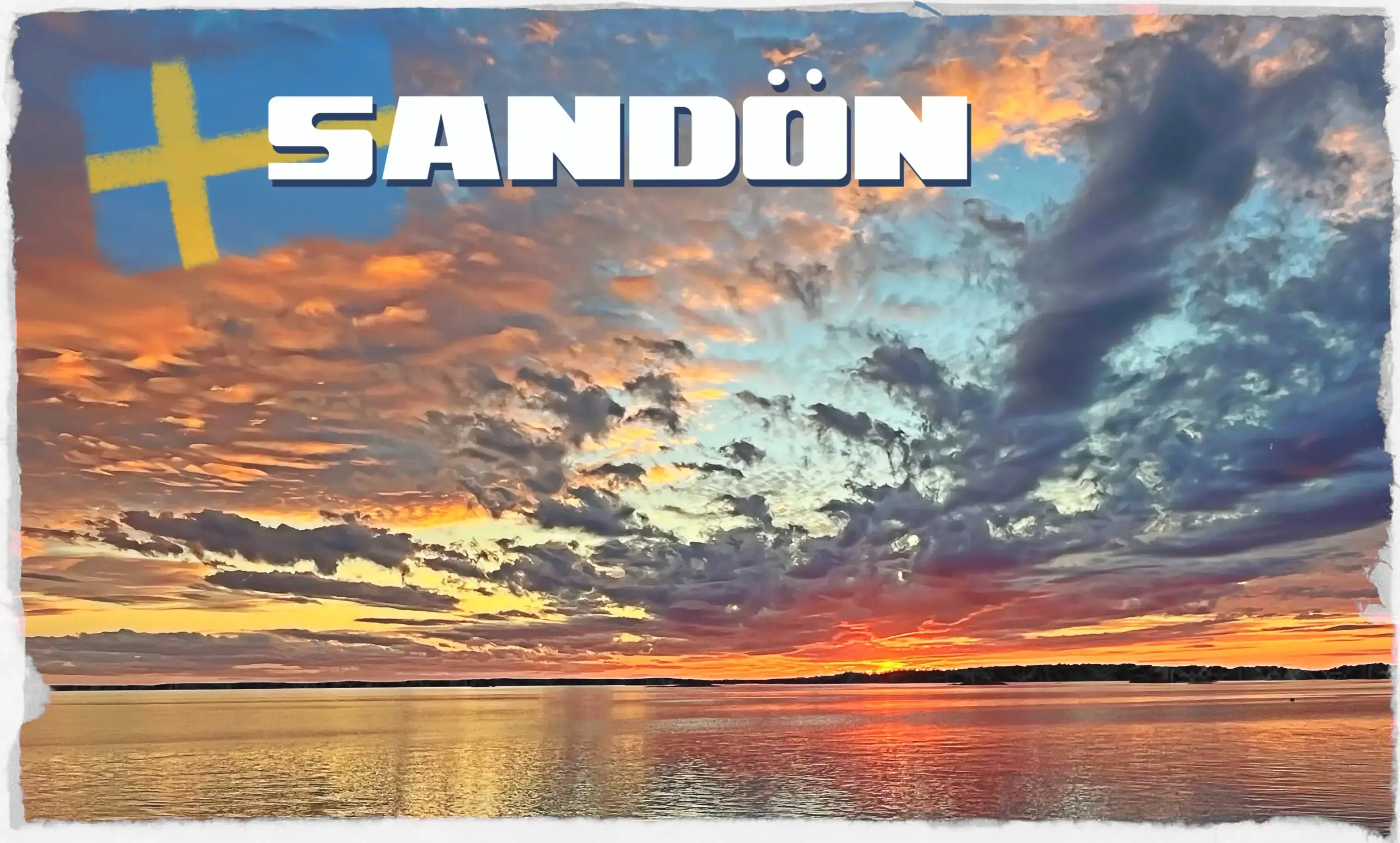
I rested completely on the Tuesday, stocking up on supplies, washed some kit and generally chilled at the beach. The sunset in the evening was a treat. The header photo for this post was that sunset, not a stock photo.
I decided to run on the Thursday so with bright sun and minimal wind on the Wednesday, I opted for a day paddle in the packraft. This was an opportunity to nip out to some of the outer archipelago islands I had decided it was prudent to avoid in my journey from Bullerön.
I spent several hours early that morning, paddling out on smooth water to spend a little time on Stora Hӓstskӓr and Hotterskӓr.
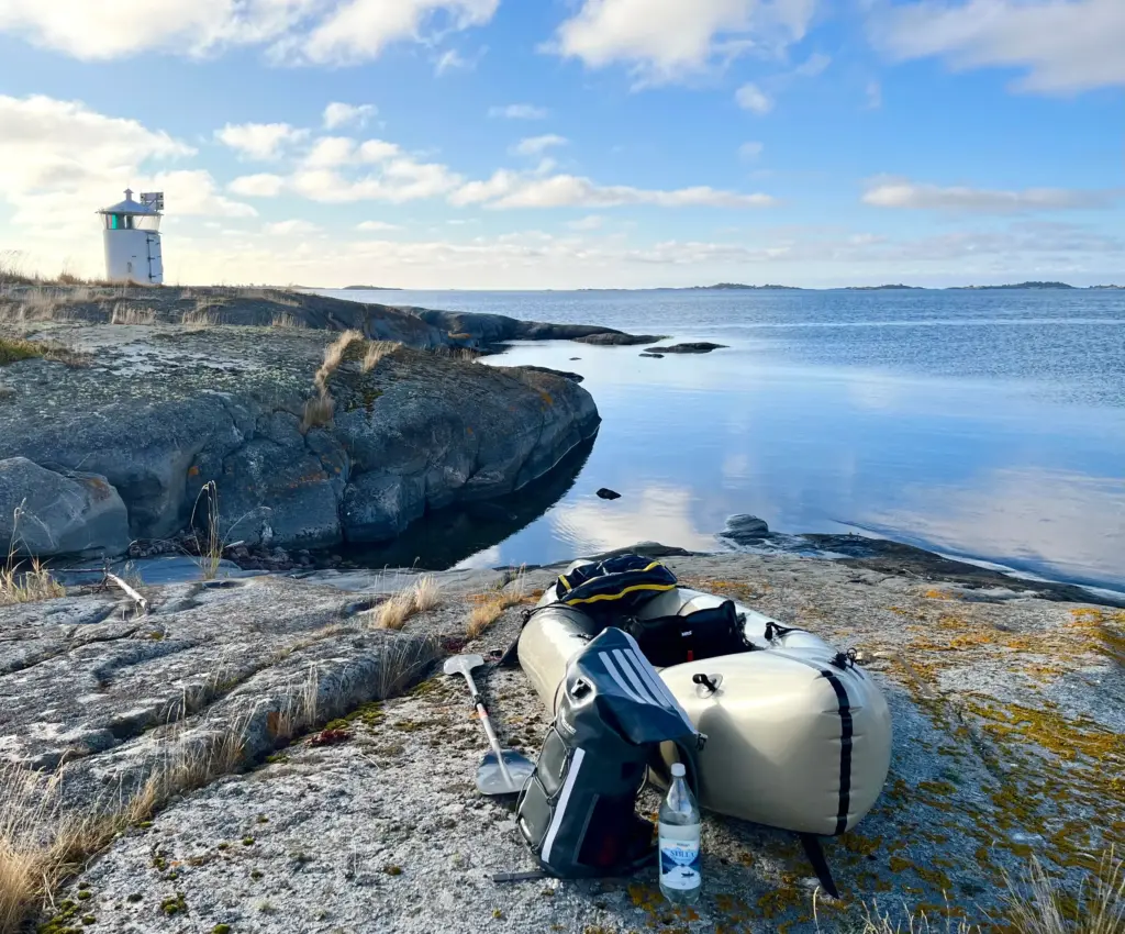
With a much lighter boat, it was easy to lift it up onto the rocks and explore/relax.
The following photos provide a flavour, hopefully.
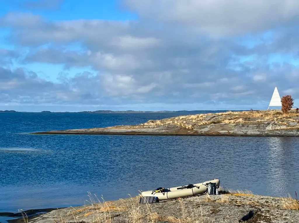
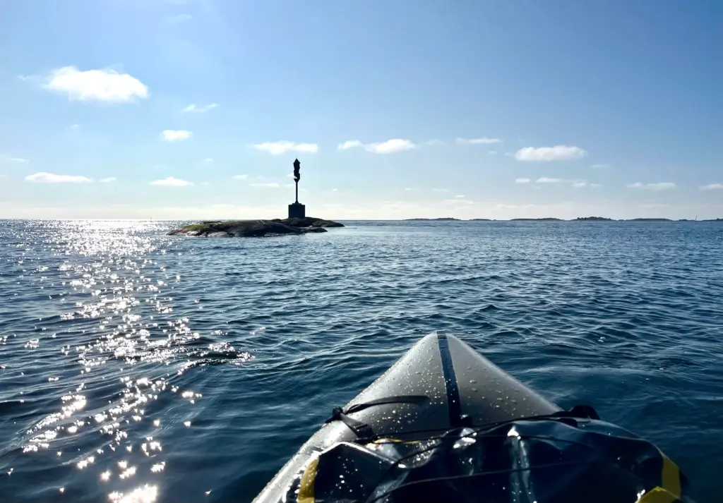
I then returned towards Sandhamn and decided to do a complete circumnavigation of the island. In the end, the entire paddle took several hours but immensely enjoyable all the same.
This allowed me to see the island from a different perspective and the paddling was a pleasure in the sun and pleasant sea conditions.
And so Thursday arrived and the day offered excellent weather for my final Archipelago Trail (SAT) run.
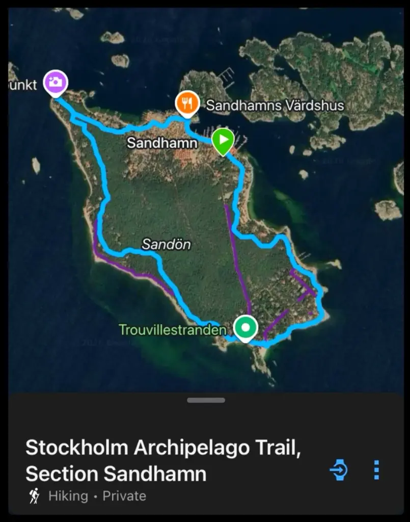
This promised to be much shorter (about 4.5 miles) than the two previous runs, but packed with variety and good running.
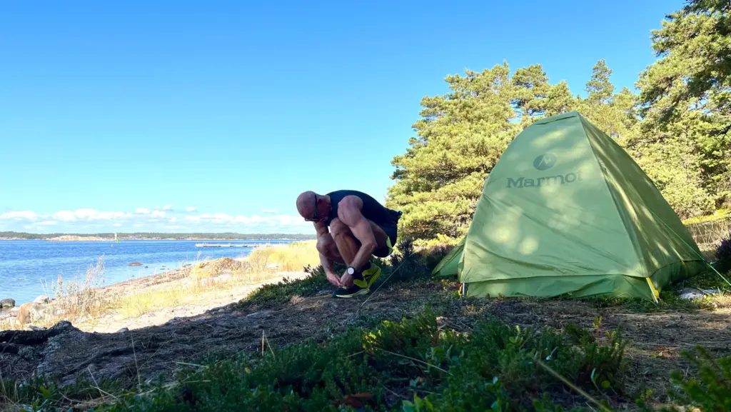
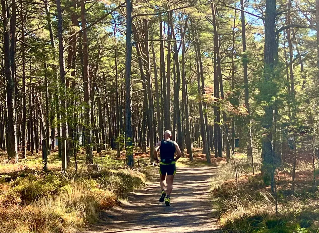
I set off near midday and was able to reach the trail easily as it was about 5 metres back from my camp spot. I followed the trail in a clockwise direction, heading directly into the forest aided by the trusty SAT yellow and blue trail markers.
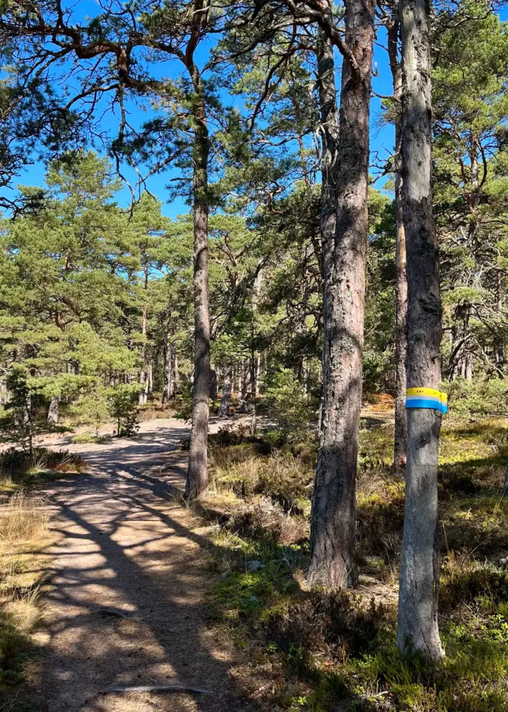
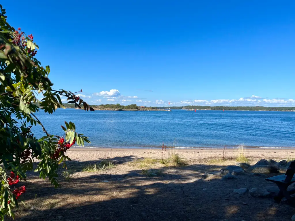
I found myself setting a tempo pace, enjoying the sun-dappled light in the trees as I eventually reached the tiny but scenic little beach at Vӓsterudden, the northwest tip of the island.
The trail then doubles back for a short distance, back into the trees before veering off towards the outskirts of Sandhamn itself.
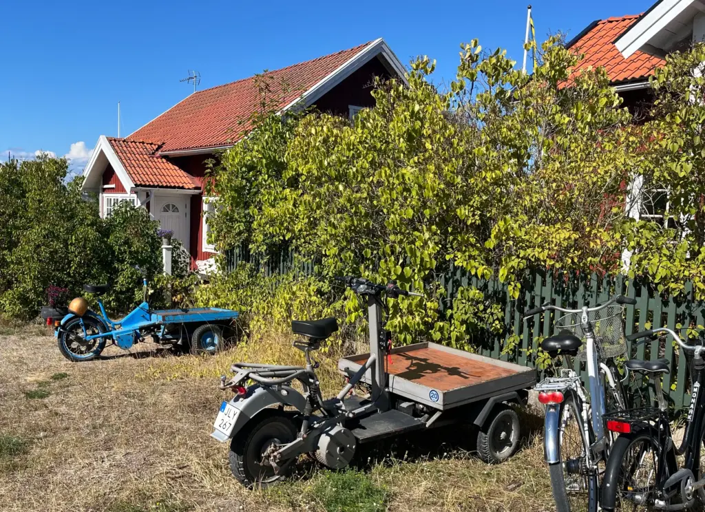
Dusty tracks form the main thoroughfares as the trail winds through the familiar red and brightly painted houses that form the village. Like everywhere else I had been so far, Sandhamn is a car-free island.
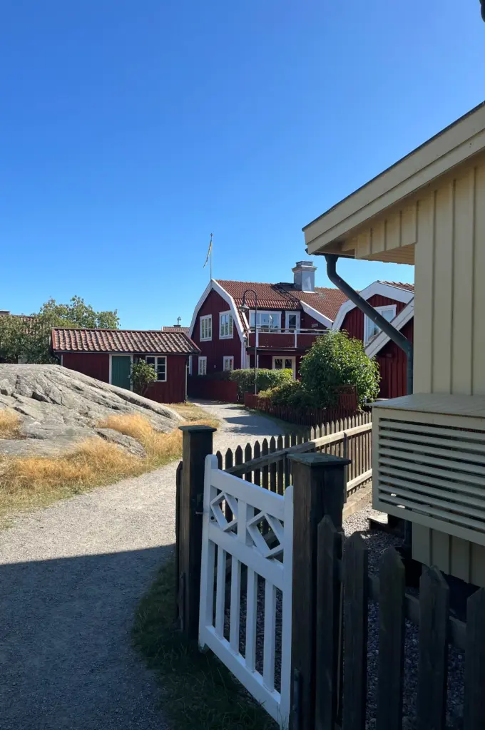
After weaving through the little lanes between the houses, the trail pops out at the harbour, next to the Vӓrdshus, the island inn/restaurant looking resplendently Swedish in its yellow, white and blue colour scheme.
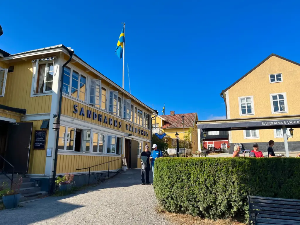
I trotted slowly along the harbour-side and by coincidence the ferry arrived as I did so.
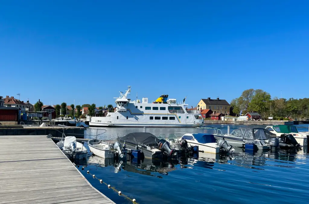
I continued to run down past the hotel then leaving the main settlement to the south.
As with some of my previous runs, my Garmin gpx began to deviate from the SAT-marked trail on the ground. It looked that my watch route was more interesting, so I followed that instead, a good decision as it turned out.
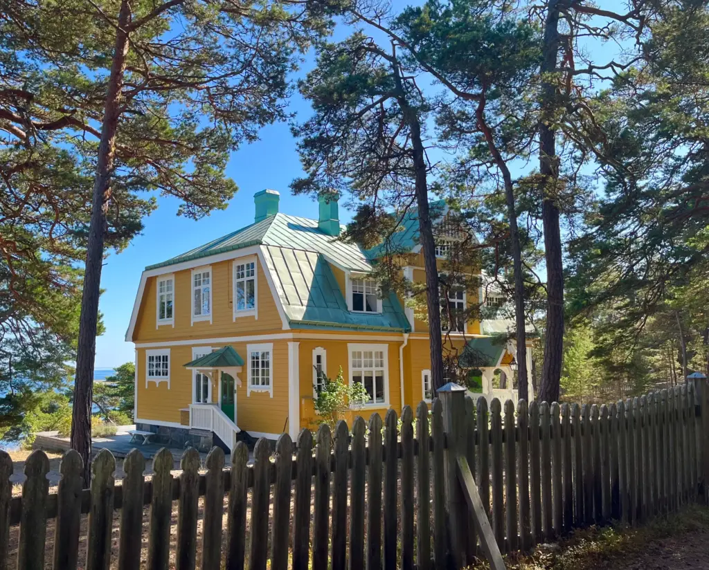
The route took me past colourful houses sitting amongst the trees to a great viewpoint where I took a short break and some water/calories.
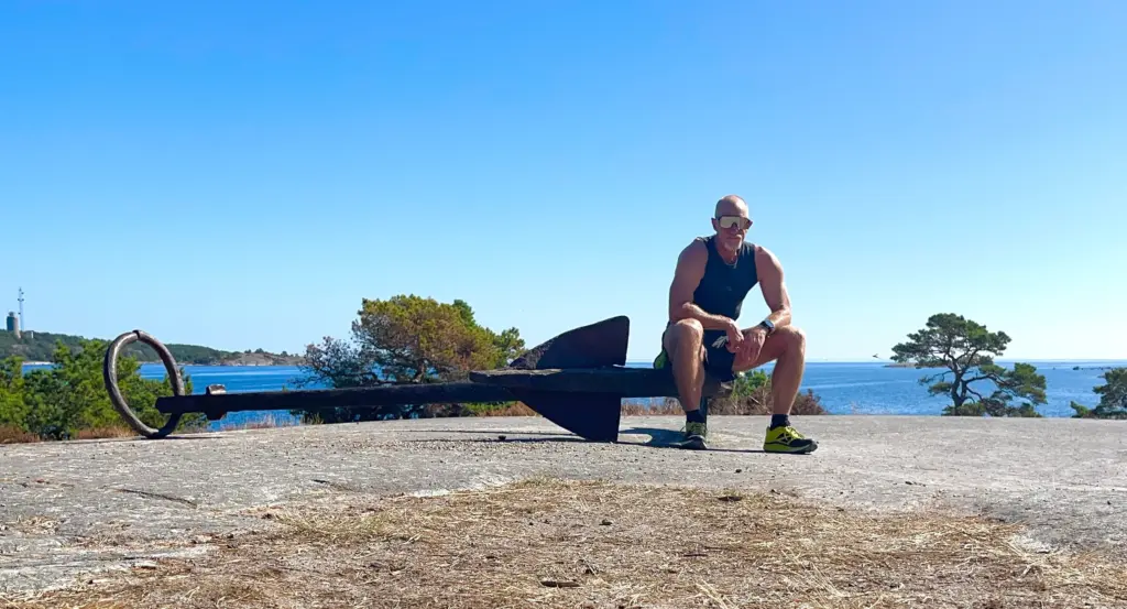
It was getting quite toasty by this point. I think I mentioned earlier that I had set myself a tempo pace. If truth be told it was more like an interval run; bursts of running at a tempo pace broken up with continual stops to take photos! After all, I was here to take it in and enjoy it.
My gpx then took me on a little tour of the rocky shore towards the very south of the island. There was plenty of rock hopping against the spectacular sea views and bright blue sky.
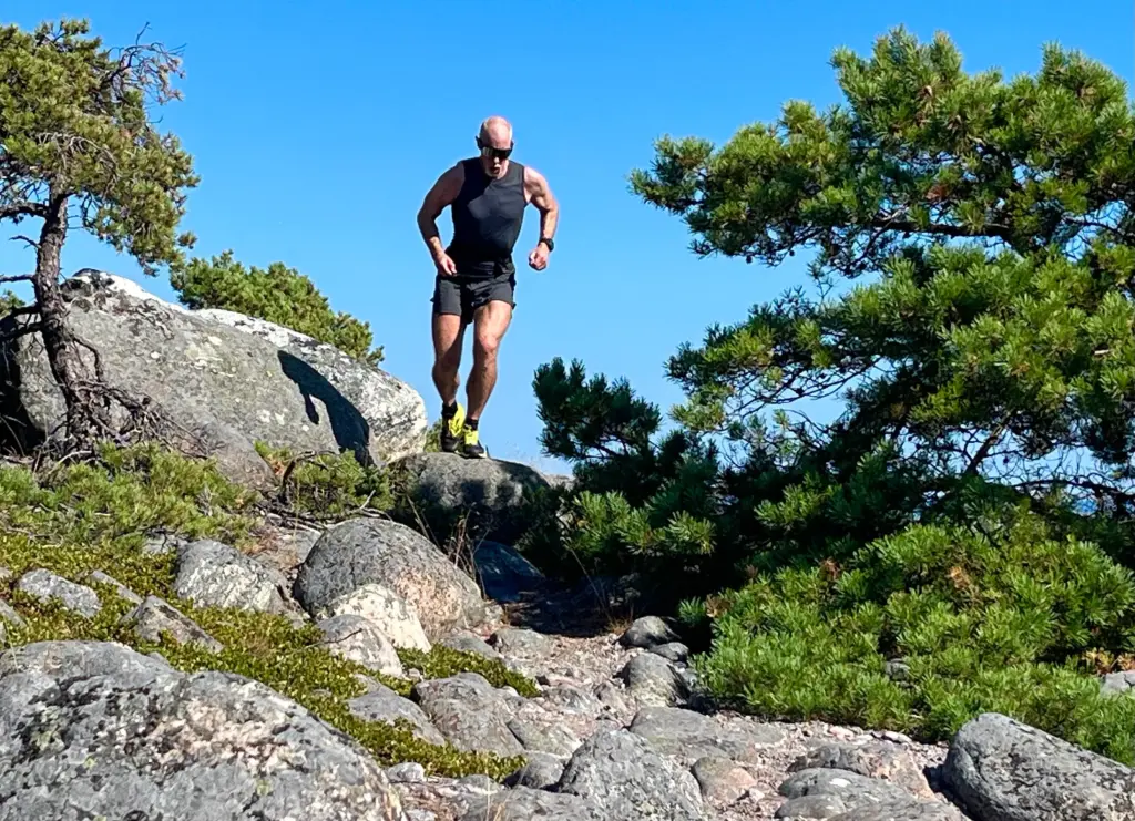
Eventually, I was treated to a fantastic view of Trouville Beach which looked like it belonged more in the Med or the Caribbean than the Baltic.
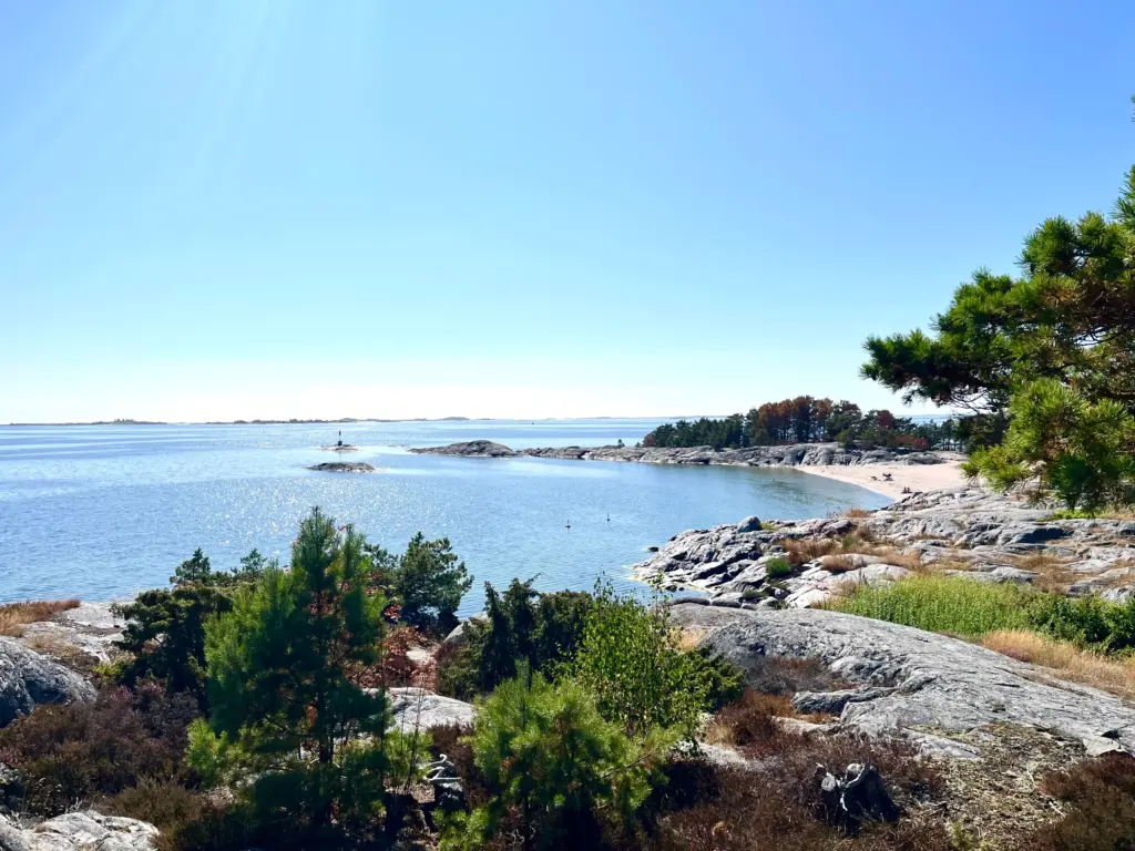
I paused briefly at the beach then set off again, focussed on some good running for the final mile or so up the west shore back to my campsite. This was good running through the trees, with continual views out to sea to my left. And then it was done and I was back at my tent.
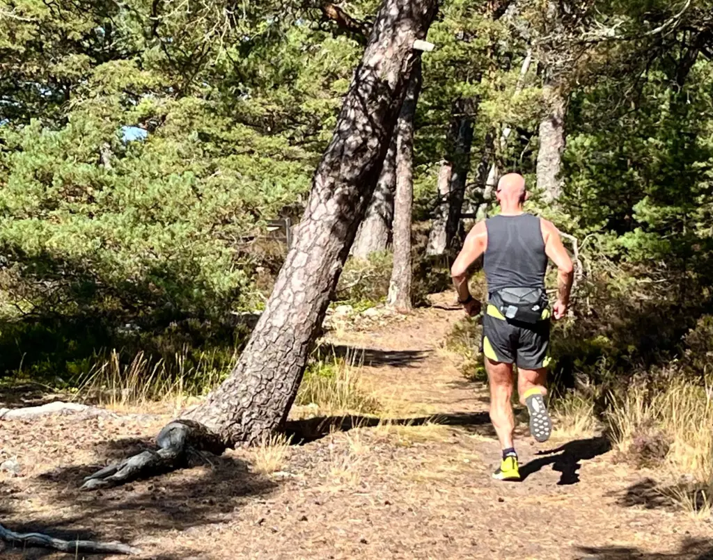
Regardless of my current fitness level or how many times I stopped to take photos, I struggle to think of a shorter run of this distance that I have enjoyed more. The variety of the route, the points of interest, changes in surface and the perfect weather all combined to make this a truly memorable run. Hopefully the photos can go some way towards conveying that.
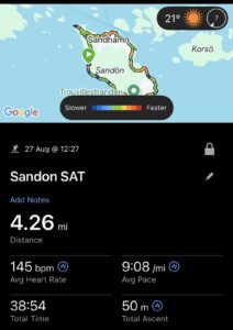
This was to be my last night in the islands. I had been everywhere I planned to go to. I could have moved on earlier from Sandhamn but with almost perfect weather and an almost perfect camp spot, I just wasn’t inclined to. I had visited the outer skerries and I would have a decent paddle back to Stavsnӓs early on Friday morning.
I resolved to enjoy the rest of my last day and also made the decision to pack up my tent in the evening and to sleep out in my sleeping bag that night. There was zero chance of rain and it would allow me to pack my tent completely dry rather than soaked with condensation early the following morning.
To be continued/….