It was late morning on Friday 21 August 2026 when I paddled away from Runmarö after completing the ten-mile section of the SAT just before.
As I said in that post, I decided to move on due to the unsettled weather over the next couple of days, commencing early afternoon. My intended destination was the island of Nӓmdö to the south. The wind was a gentle south-westerly so I would be paddling into the wind but no big deal with the forecasted wind strength.
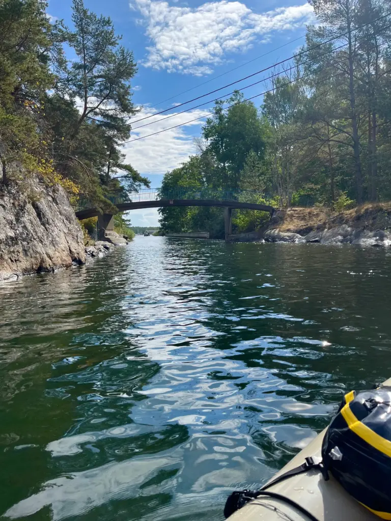
I negotiated the narrow channel at the south end of Runmarö and was then out on more open water. I powered on south, using the smaller islands as much as possible for shelter before moving on towards the next. I made good progress but all the while I could see the skies darkening to the south, just as the forecast had indicated. However, it was an enjoyable paddle and after about two and half hours on the water, I approached the sheltered bay at the north end of Nӓmdö which was my destination for the day, in fact for the next couple of days.
I nearly made it and with a couple of hundred metres to go to the landing point, the sky unleashed a deluge of rain. I quickly beached the packraft and made a dash for the little sauna hut on shore.
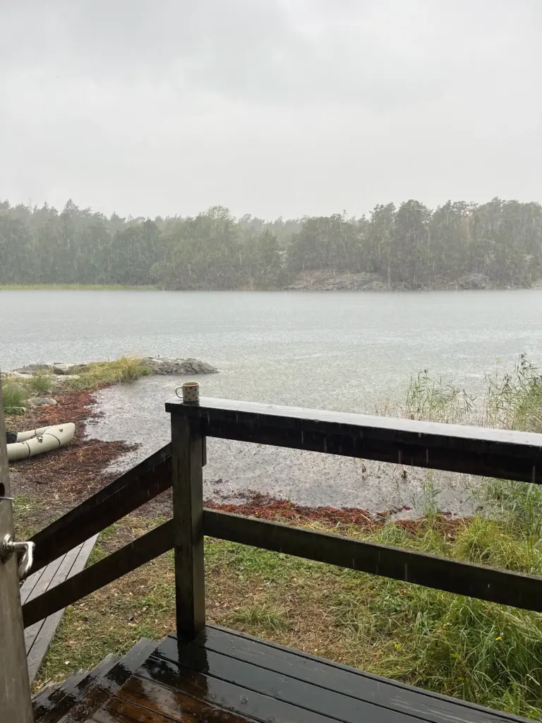
The sauna (free public access) provided a timely and fortuitous shelter for the next hour or so as the heavy rain continued. I had brought most of my gear inside, even although it was all waterproof anyway. I changed into some dry, warmer clothing and stood around on the porch, the air thick with the aromas of pine and petrichor. However, knowing that the sauna was going to come into use at any point, I had to vacate and once the rain ceased, everything brightened up again and I managed to locate a small but flat spot for my tent.
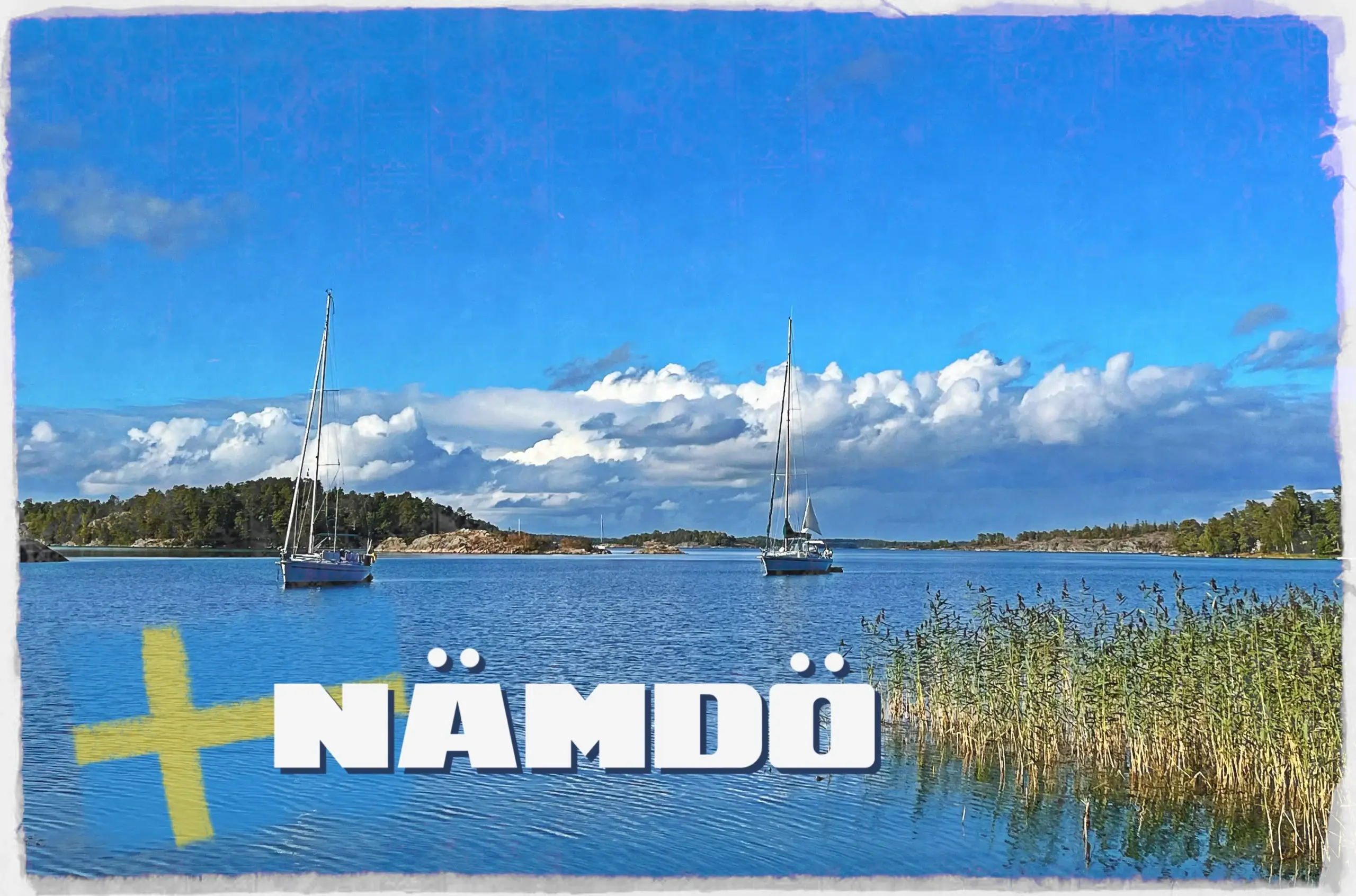
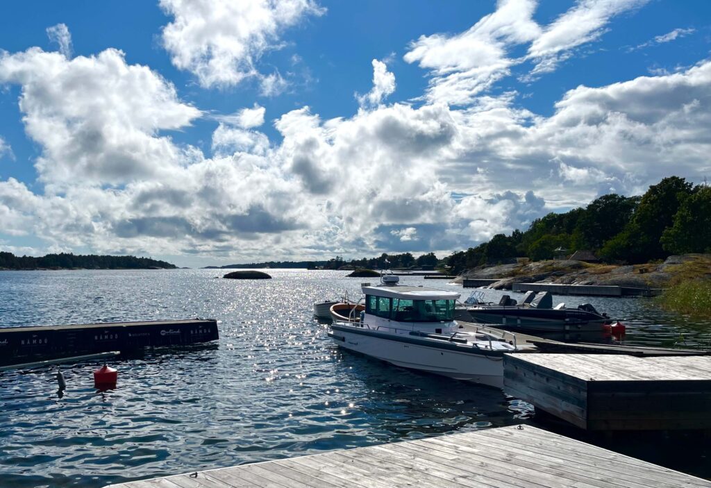
I set up camp just in time as people from some of the berthed yachts (the header image is the bay where I camped) started coming ashore to fire up the sauna.
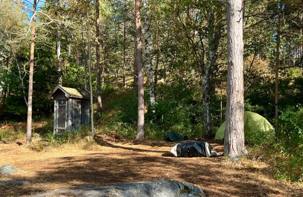
I relaxed the remainer of that day although the continual comings and goings to the sauna lasted well into the evening.
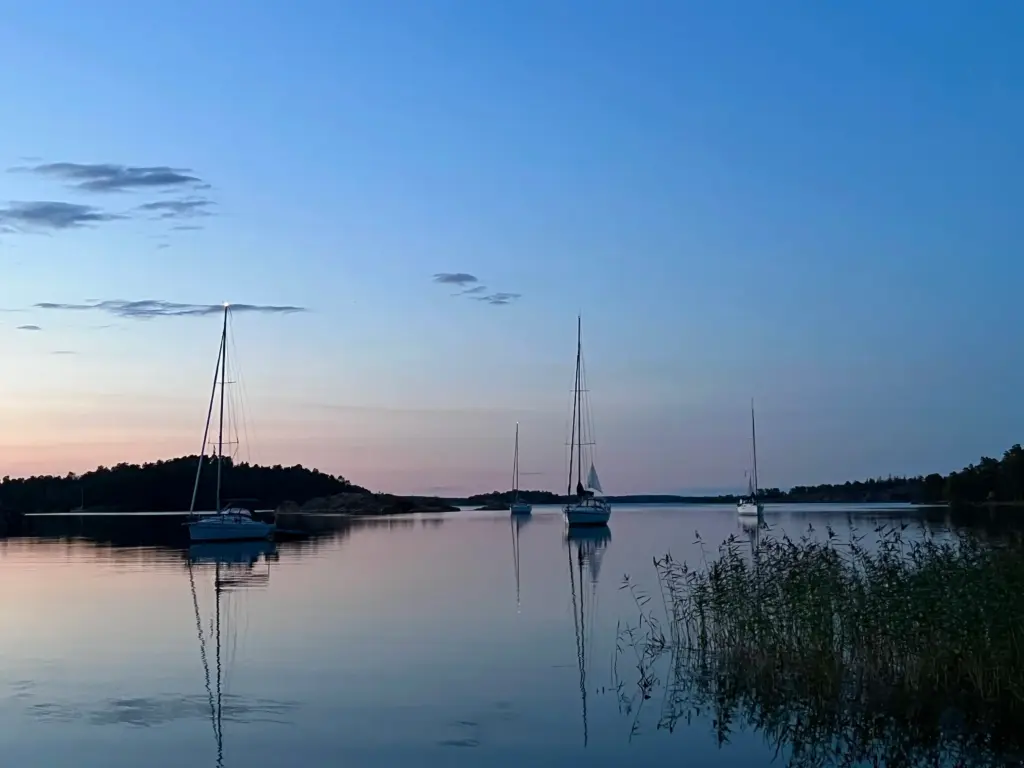
I took the following day as a rest day. I had run down my calorie intake over the previous two days. Not intentionally but I had just been on the move so much, so I needed to get back on balance. I took a nice walk to the northern tip of the island in the afternoon of Saturday but otherwise rested, ate and enjoyed the surroundings. A guided kayak group joined the scene in the late afternoon so between them, two other tent campers and the flow of yacht sailors coming ashore for the sauna it was a bit like Piccadilly Circus come the evening but everyone left or quietened down by 2200 so no real cause for complaint.
Although I was very much on or ahead of whatever loose schedule I had, my plan was to run early on the morning of Sunday then move on from Nӓmdö.
So, I woke with the light on Sunday morning, consumed some calories and water and got ready for the Nӓmdö section of the Archipelago Trail.
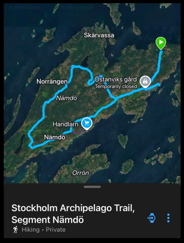
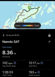
As I was camped in a location which was slightly off the route, I had decided to do an adaptation, adding a nice forest trail section from my camp, across the north of the island to rejoin the official SAT route after a couple of miles. The map below only shows the official trail route but no harm.
It was about 0630 when I set off, directly along the forest single track to the north of the campground. Between tree roots, rocks and sections across moss-crusted rock slabs, this was a really interesting start to the run as flashes of early morning sun flickered through the conifers.
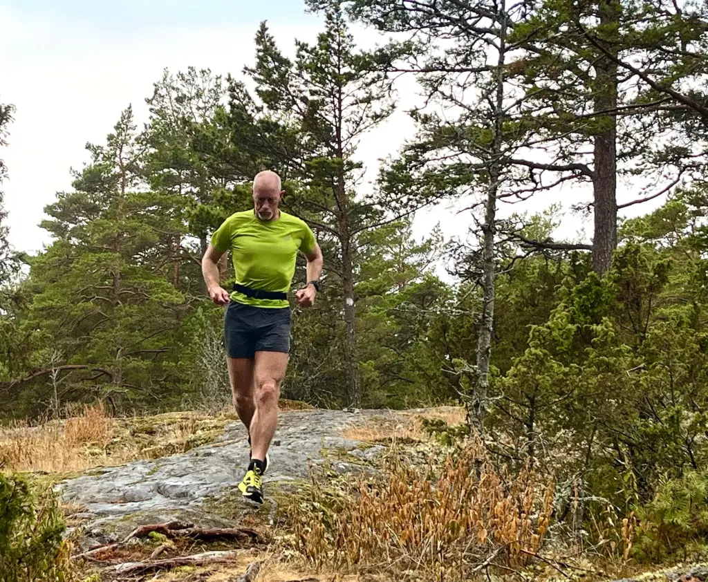
I climbed up and over the hill, descending after about a mile and a half to meet the official SAT trail which took an out and back up to the shore on the north coast. There was supposed to be a watchtower up on the hill above but despite a short but stiff climb up to the top of the hill, I simply couldn’t find the bloody thing. How can you not find a watchtower on the highest point of a hill?
Oh well, back down the hill and back south on the SAT again.
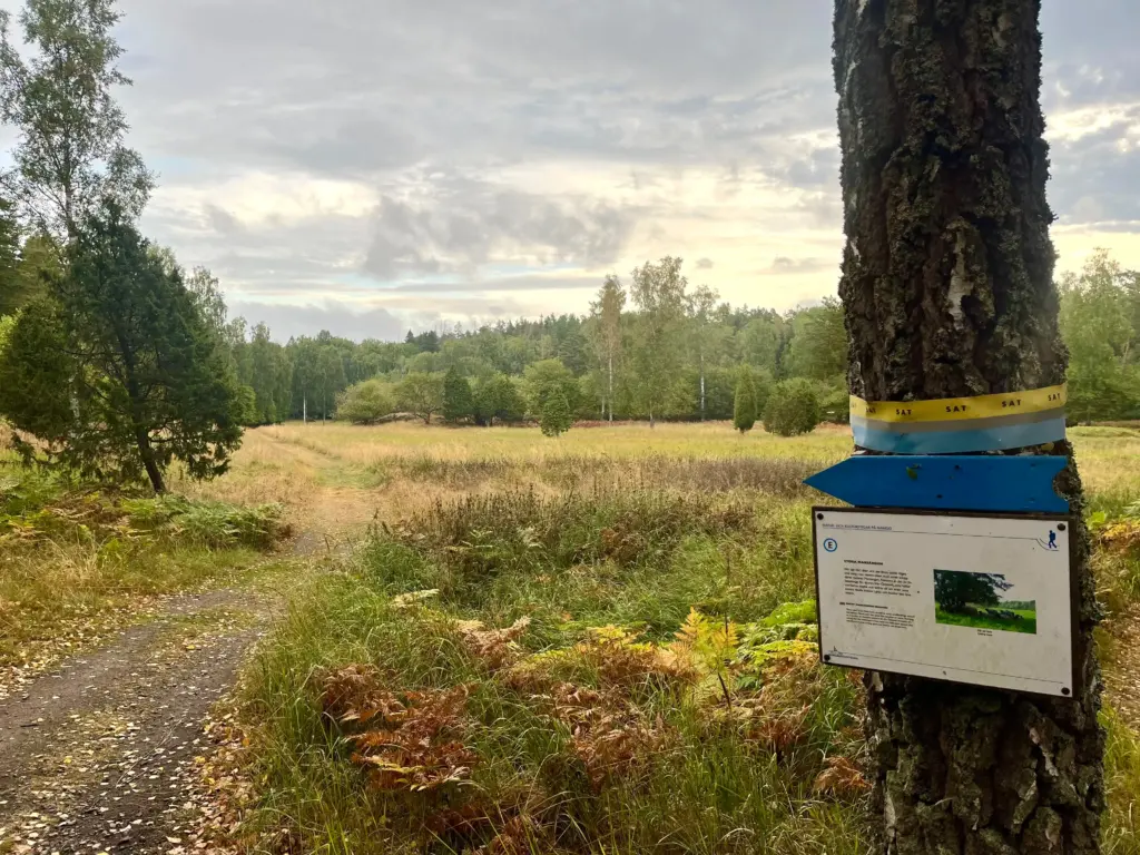
This was nice open ground, transitioning to easy, level gravel track which headed south towards the largest settlement on the island at Solvik.
This was good steady running on easy ground, but I was ever conscious of my pace and overall lack of endurance. Things felt stiff, sore and just a bit difficult really. I fear age really caught up to me in those long four months away from running. I’ll get there though.
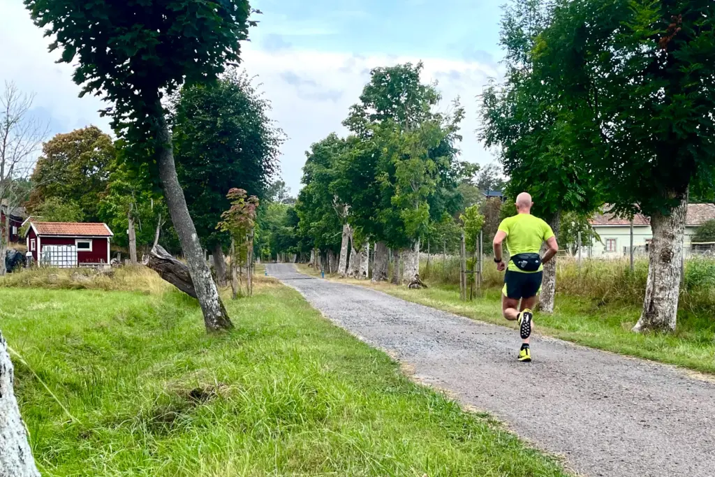
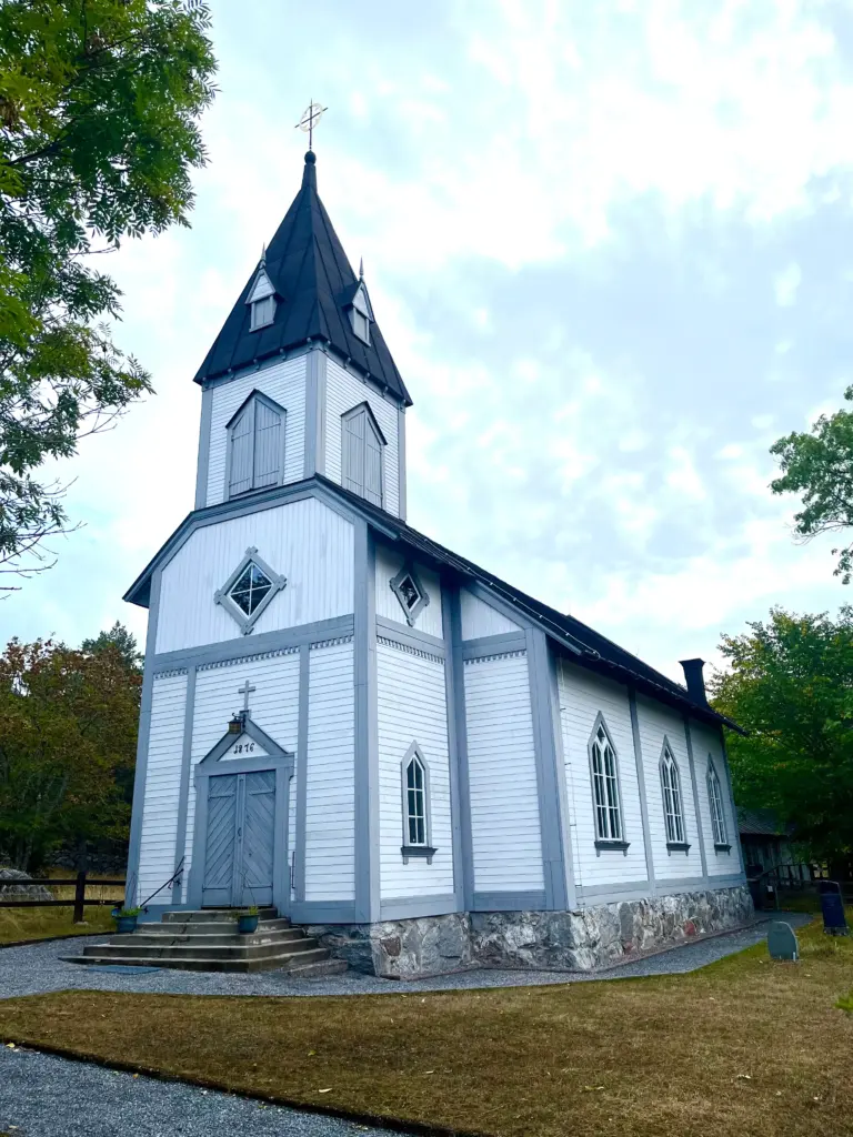
I took a left down to Solvik, past the church and down to the harbour. The sun was out by now and it was warming up from a chilly start.
The track down to the harbour is a dead end so there was a couple of hundred metres of backtrack before a tranquil, shady section past some of the red-painted wooden houses that are such a strong feature of the landscape in these islands.
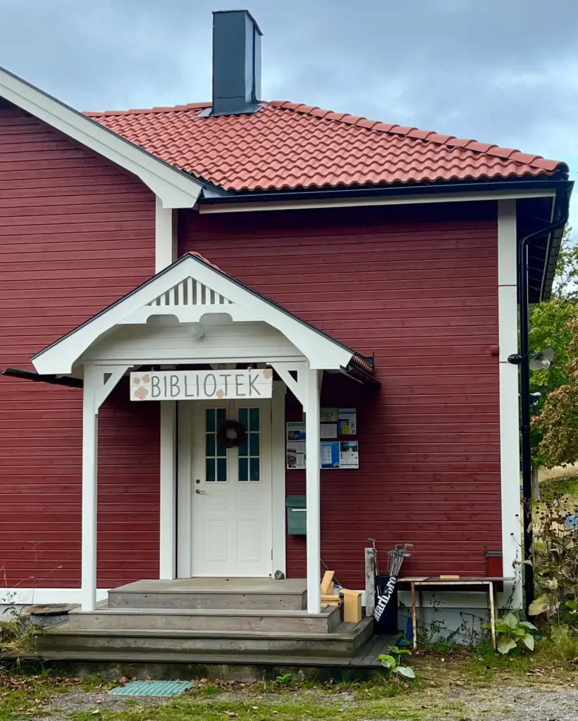
Joining gravel again, I passed the local library and more houses before rejoining the main north-south track again.
I continued south then turned off, heading west then north across a more open, wooded section.
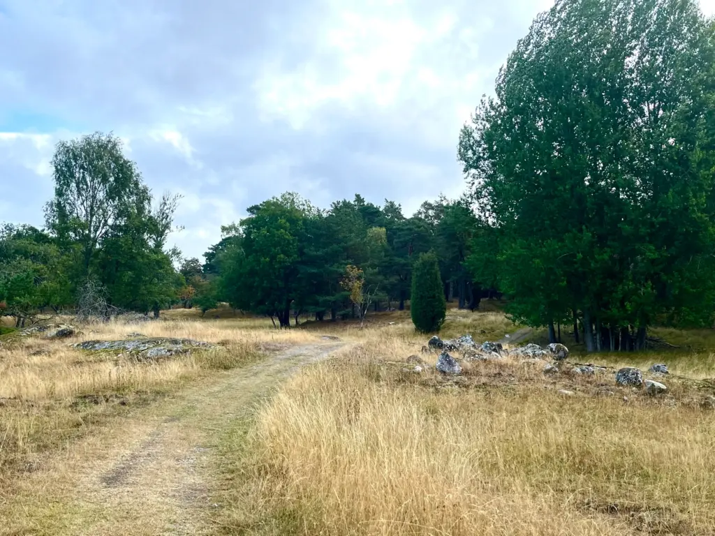
The next two to three miles were a mix of gravel, grassy track and gloomier forest single track. The latter were such a change in mood after the sunnier open sections, some sections encroaching right up to and above the path.
Eventually, the track came alongside Stortrӓsket, a small lake towards the northwest of the island.
I paused here for some water and calories whilst enjoying the tranquility of the location. Then, back once more into the forest for a further section before a short, sharp descent to the open ground near the finish.
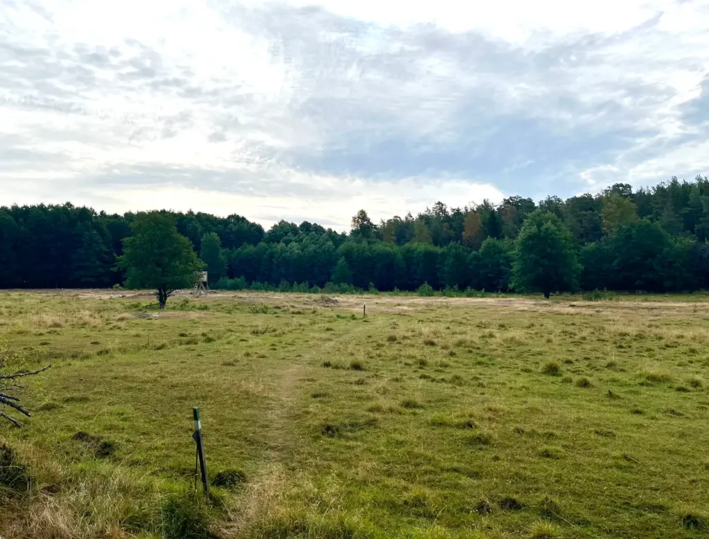
There are deer on the islands, Fallow Deer mainly. I saw several in the forest and crossing the tracks but never got my phone sorted in time before they scampered out of sight. The sight of a raised hunting tower in the middle of the open ground was a clear reminder though that life for these deer is not always so idyllic!
And then, I was back at the tent, by then a hive of activity as the kayak group were up and about, eating breakfast and packing for their return paddle to Stavsnӓs.
The Nӓmdö section of the SAT, my adapted version at least, was around nine miles and a great little run with very mixed scenery and points of interest. Once again, my legs had loosened as the run had gone on but there was no ignoring my overall lack of fitness.
In order to bridge the gap until the next running post, it is necessary to describe what happened in the interim.
My plan was to eat, pack and set off from Nӓmdö. Although the wind had picked up and shifted to a north westerly, I felt confident that it was viable and safe to paddle. I knew it wouldn’t be easy as my destination was the small island of Bullerön, about five to six miles due east of my location. That would mean battling across the wind and prevailing sea state, sometimes harder than going directly into the wind.
So it turned out. The hardest part was paddling out of the bay, directly into the wind and waves, then turning east across the rolling waves. After this difficult start, I took a short rest on the small, private resort island of Idöborg. However, the small kiosk at the jetty was closed so no snack or ice cream to be had.
After this, I was amongst smaller islands which allowed for a route which maximised shelter and calmer water. I made good progress, eventually taking another short break on the rocks at Stora Melskӓr. By now, I was directly across from Bullerön and only had about a kilometre of choppy water to cross to reach it.
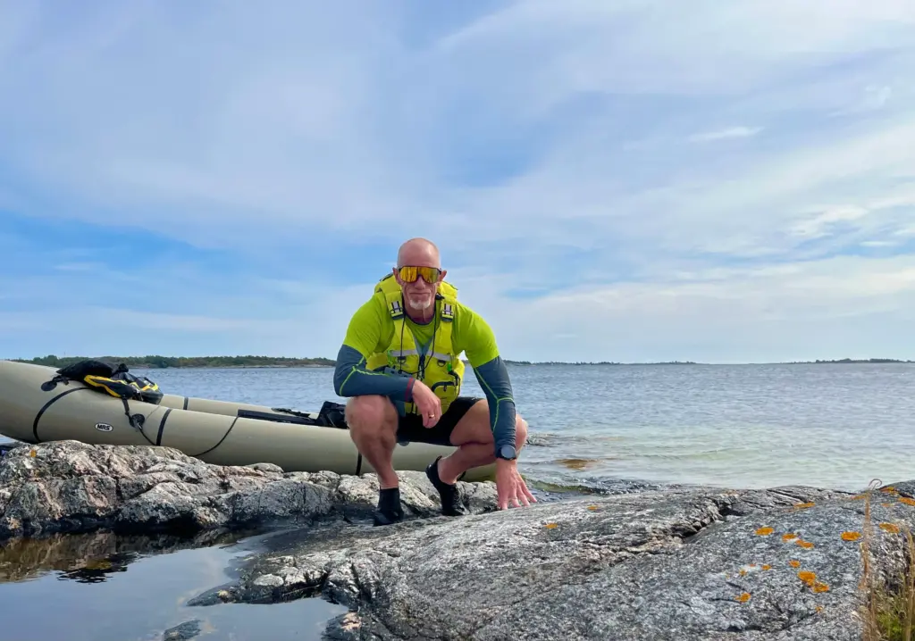
I hugged the coast south until I reached the tiny settlement and landing point on the west side of the island. It had been nearly three hours of quite hard paddling to get there but it felt like an accomplishment, nonetheless.
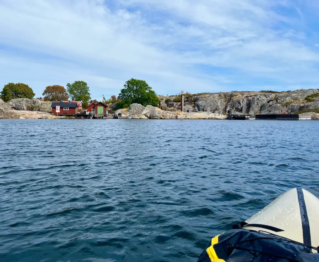
Bullerön is a national nature reserve, the former home to a renowned Swedish artist and naturalist Bruno Liljefors and has some excellent, albeit low-key facilities with a strong eco vibe. There is a rest cabin with some kitchen equipment, tables and power.
There is drinking water as the island has its own desalination capability. There is also a hot shower which was bliss. The first I had had since leaving home and the last I would have for the next five days.
Wheelbarrows enable the carriage of gear from the jetty to the camping area which is nice mown grass with good shelter from the wind. At the time I arrived, there were a few day visitors off the ferry and archipelago tour boats. By late afternoon they were all gone and I pretty much had the island and certainly the campground to myself.
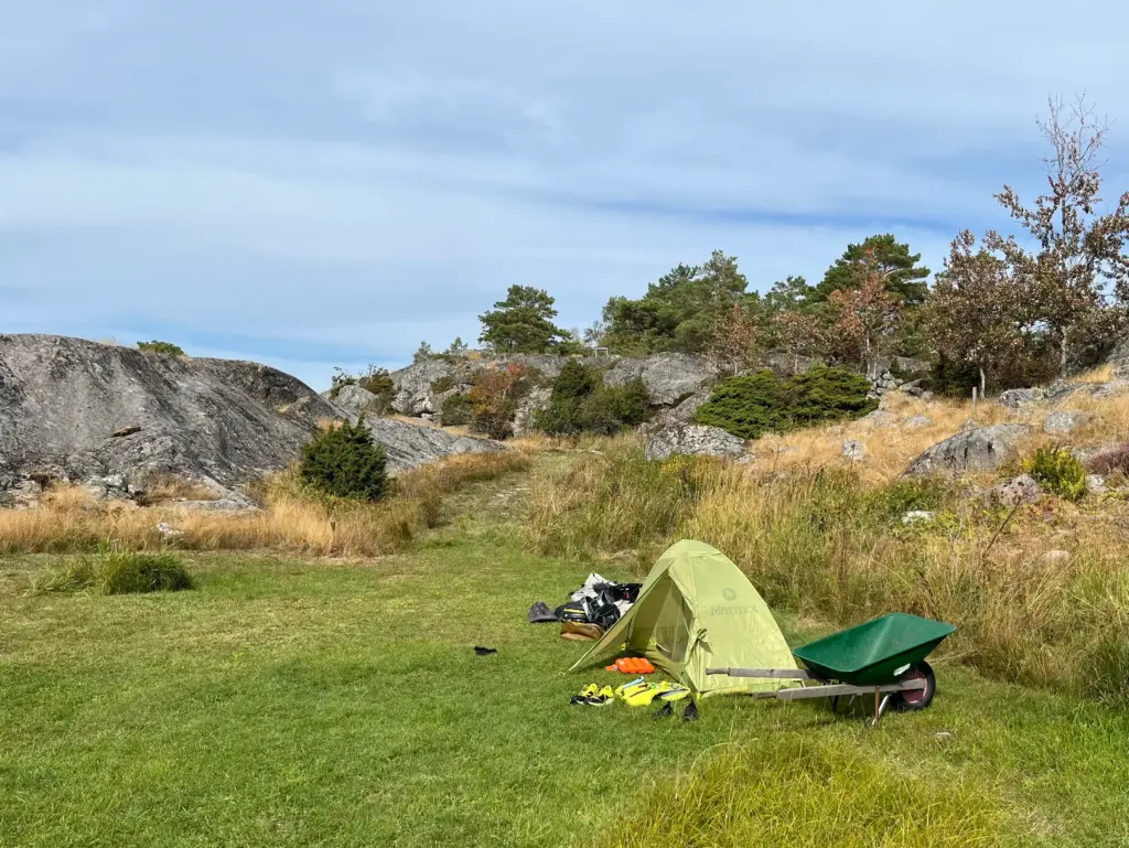
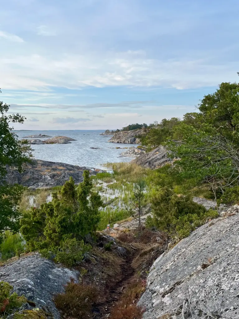
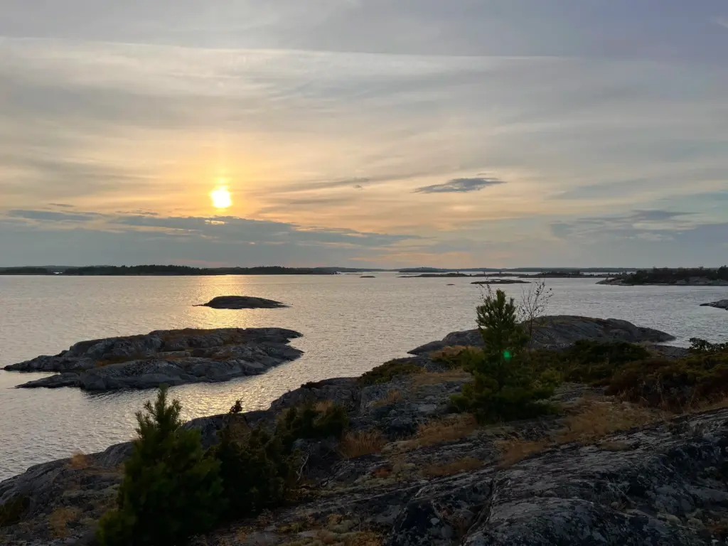
I set up camp and later in the afternoon and evening, enjoyed some of the walking trails around this absolutely stunning island.
It would just be one overnight here although I think I could have spent another day to be perfectly honest.
To be continued/….