Not my very first run of the new year but close to it and Wednesday 8 January 2025 brought the cold but clear weather that had been forecasted. Not a day for tiptoeing around town on icy pavements so the trails beckoned. In this case, the Angus glens which are about 30-40 minutes’ drive north of Dundee and a favourite location for me as the hills are varied, the trails extensive and it is entirely possible to run for hours on end and not see another person.
The general forecast for the area predicted temperatures below zero and clear sky all day. I usually check a mountain forecast for peaks in the vicinity (Driesh and Glas Maol in this case). This verified the general forecast but suggested stronger winds at altitude with wind chill dipping into minus double figures.
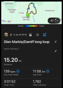
I wanted to make a reasonable outing of it so I strung together a combination of routes I know well and came up with a fairly varied 15 miles, starting and finishing at the Freuchies carpark in Kirkton of Glenisla and taking in a couple of the smaller glens that sit between Glen Isla and Glen Prosen.
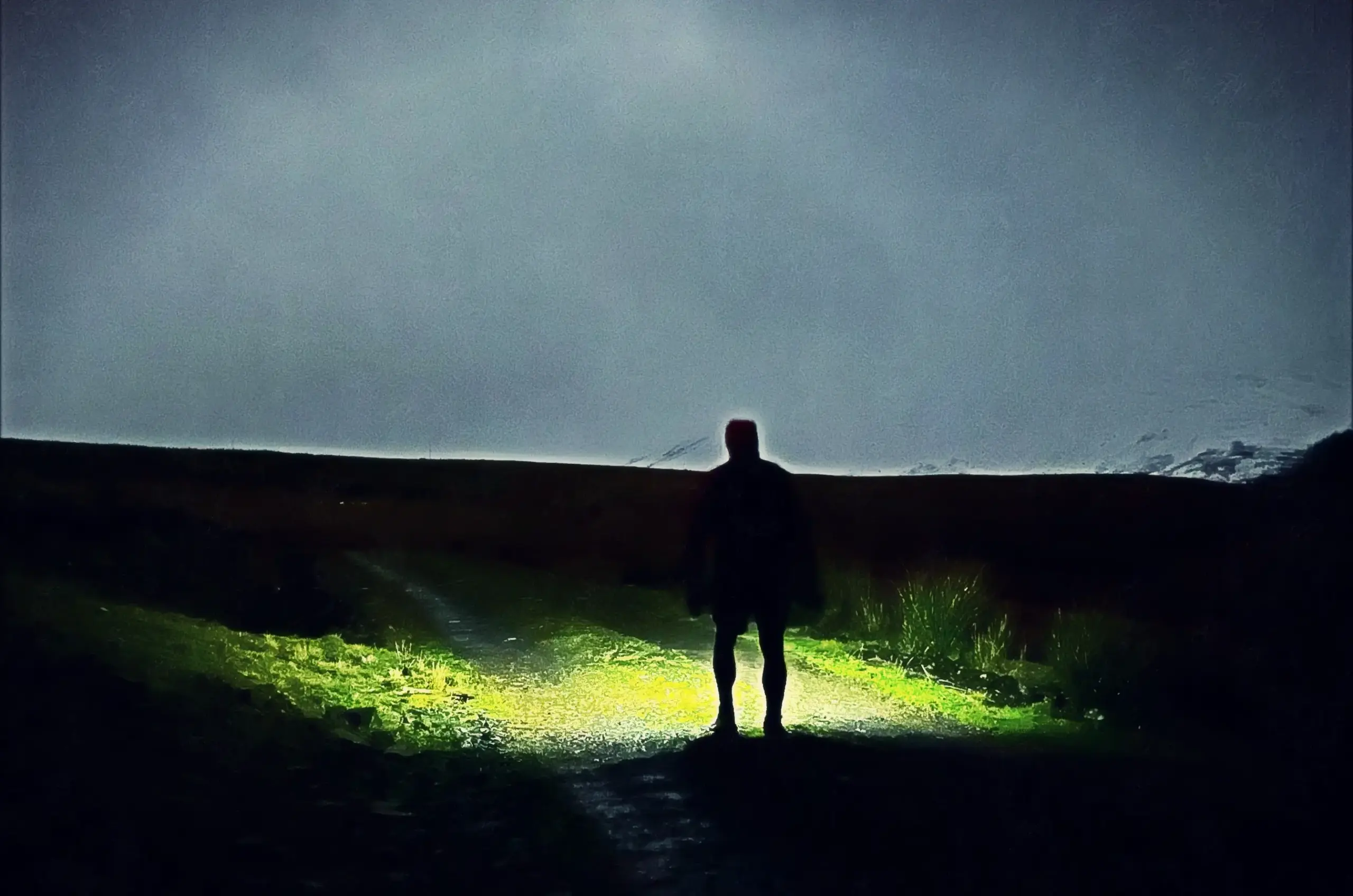
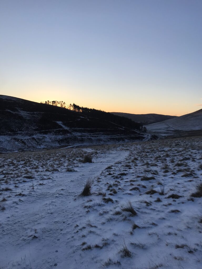
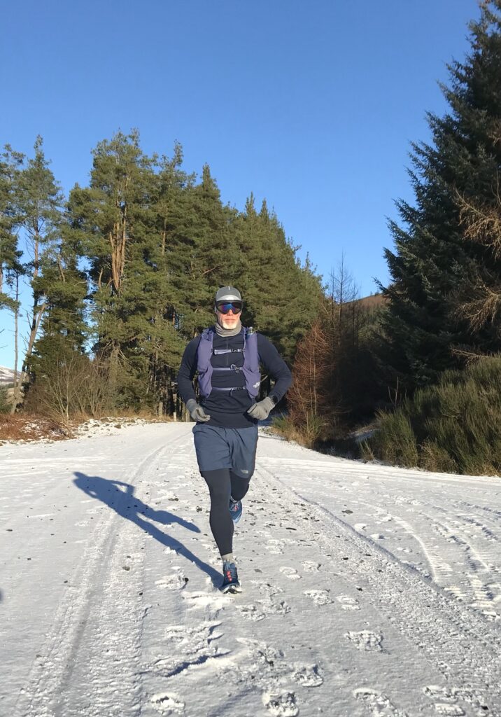
I left Dundee in the dark, arriving just in time for first light after slow progress along the last few, very icy miles to the car park. The route starts uphill, following the vehicle track which leads to Glen Markie lodge, about 3 miles up the glen. I took my time, intent more on maximising the benefit of the miles and enjoying the day. True enough, it was cold but without a breath of wind down amongst the trees in the glen.
Just before the lodge, a small track heads up unto the trees to the right of the path, coming out at the top of a hill before a nice little descent across open snowy ground down towards the bridge over the river below. The sun was just starting to colour the horizon above Glenhead reservoir.
Across the wooden bridge, the track winds for a half mile or so to the hamlet of Glenhead before continuing around the hill before turning north towards, then through, a forestry plantation.
Once out of the plantation the path becomes much rougher, although still technically a 4×4 track, and the long steady climb begins up onto the hillside. The path winds past the grouse butts then the view opens up towards the minor top known somewhat strangely as The High Tree, especially as there isn’t even a large shrub let alone a tree to be seen anywhere near its summit. The snowy munro summits of Mayar and Driesh were clear in the distance against the blue sky.
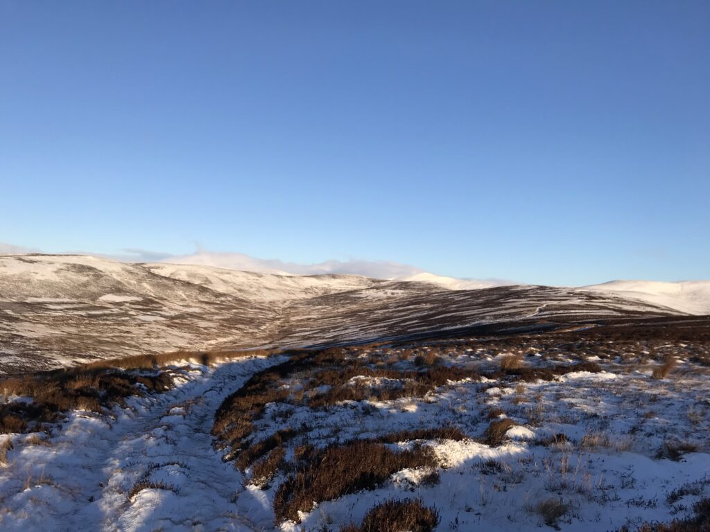
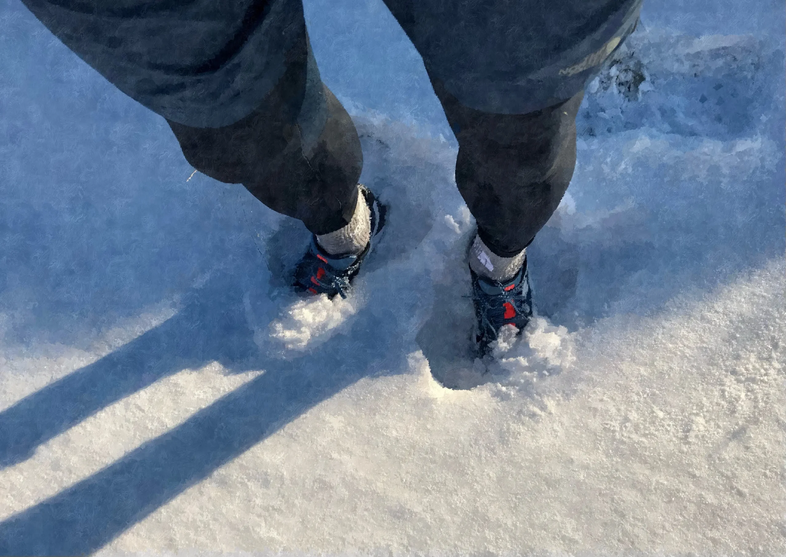
By now the wind was picking up and the temperature was dropping prompting onward movement rather than hanging around to enjoy what was by now a very pleasant sunrise. The path continues uphill with Glen Damff below to the left and the snow was getting deeper now, especially in the ruts of the track, although no additional traction was needed. However, it was fairly slow going as the ground was rock hard and uneven beneath the snow.
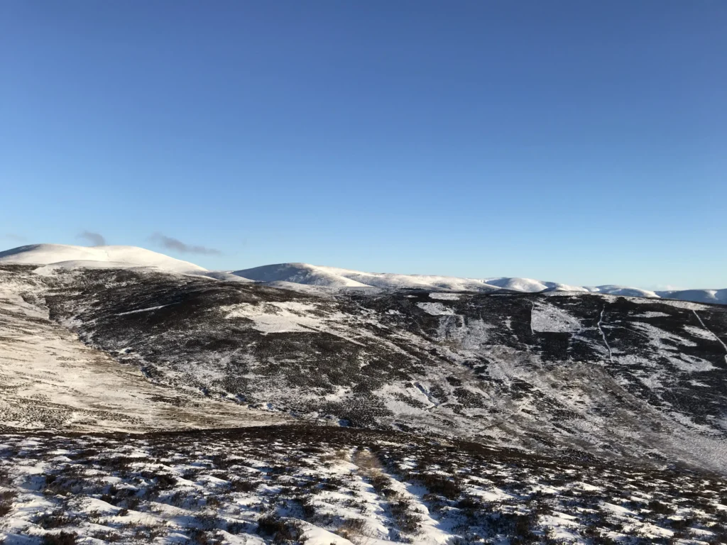
A couple of hundred metres before the top of the High Tree, a path forks off to the left and heads downhill to the foot of the glen where the burn has to be crossed. The path downhill was buried by snow in parts and there was a bit of knee-deep drifting in places. Fortunately, the burn is narrow enough to jump across then the steepest climb of the day began up the other side of Glen Damff to the summit above which sits at somewhere between 600 and 700 metres. Once up top, the wind was biting in earnest and once again it was no place to be hanging around.
There used to be a gate in the deer fence here but this now appears to have been built up fairly high for some reason with no actual opening that I could see. The gate is now about 8 feet high so there was nothing for it but to climb the icy wood then try and slip over the top under the electrified cable running above. I had first tested the electrified fence by the approved method…touching it.
Unscathed on the other side it was then a priority to start the descent to get some respite from what was a much stronger and very cold wind on the exposed top. This certainly confirmed the mountain forecast I had looked at the night before.
It is normally great fun to fly down the track on the other side of the fence, but the deep snow today demanded due caution and a more sedate pace. That said, the view to the west over the hills around Glen Isla and beyond was simply fantastic.
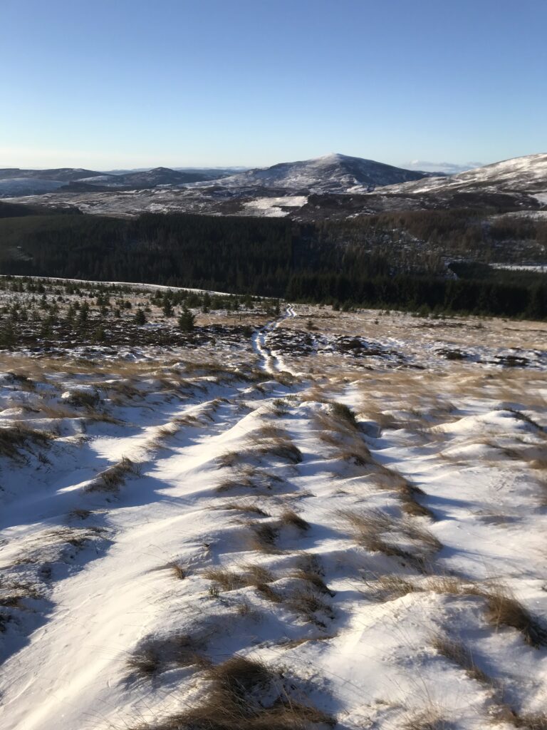
Once down in the adjacent glen, a forestry road is joined once again and this is pretty much the running surface from that point until the end. The road was covered with packed snow but again there was sufficient traction. Although I had brought traction in my pack, it was never needed in the end.
It is about 4.5 miles back to Freuchies from that point starting with a bit of sharp ascent before the track starts downhill until Loch Shandra appears on the right-hand side. Once abreast of the loch I know it is about a mile to go but I was in no hurry and took my time. It was much balmier down in the glen and out of the wind, so I did take a few minutes to take a few more photos before getting back to the car.
Overall, a fantastic outing and one which made me glad that I bothered to make a plan and get out there early in the dark and the cold to make it happen. Despite the fantastic conditions, I didn’t encounter another soul over the entire 15 miles and my car was still the only one in the carpark when I returned to it.