If you’ve read my post about my most recent fastpacking trip earlier this month, then you’ll know that trip was based around the Scotrail Flat Fare discount train travel. Time then for another trip, once again making full use of the cheap train tickets, although logistically much simpler on this occasion.
The weather forecast in the lead up was pretty mixed but I was not to be deterred so I hatched a plan that would minimise the impact of any poorer weather. For that, there is nothing better than a roof over one’s head for the evening.
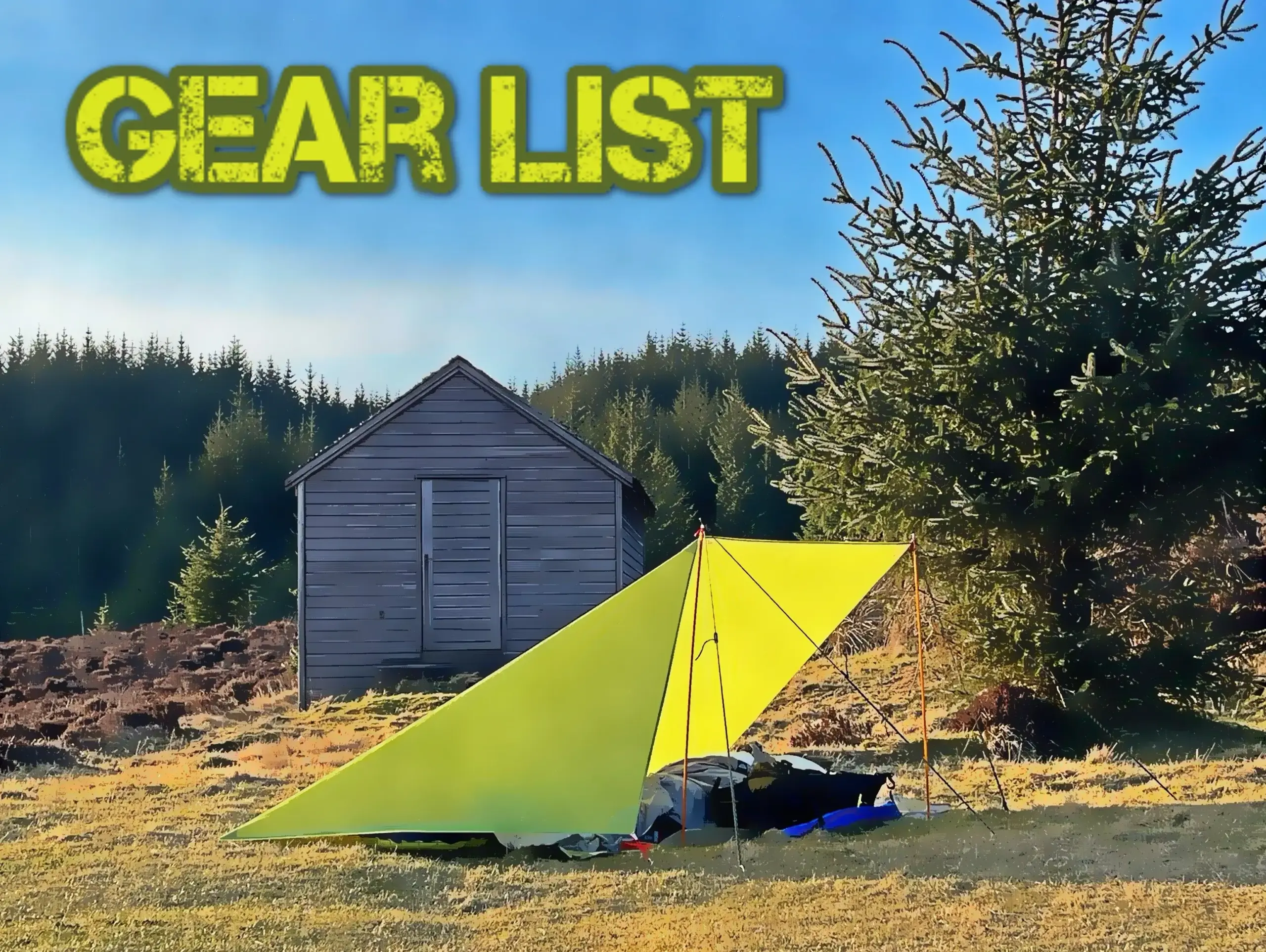
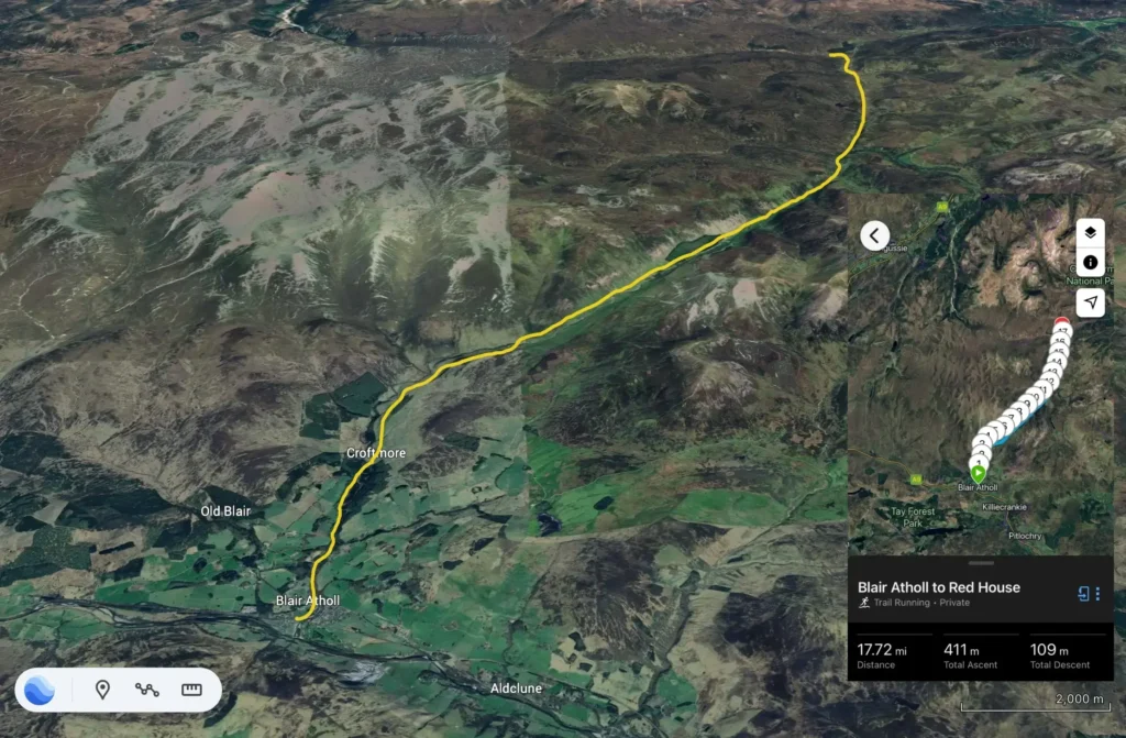
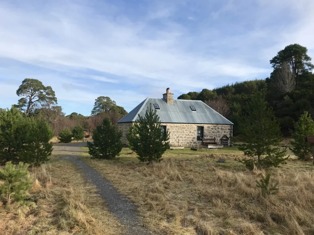
For some time, I have been meaning to make my way up to the Red House bothy, fully renovated in recent years by the Mountain Bothy Association. The Red House is situated at the very top of Glen Tilt, approximately 17-18 miles from Blair Atholl.
I have been past, but never inside, the Ruigh Aiteachain bothy in Glen Feshie. This bothy is not maintained by the MBA but belongs to Glen Feshie Estate and is reputed to be the most luxurious bothy in Scotland. The estate went above and beyond for the benefit of those who visit what I think is one of the most attractive glens in the whole of Scotland.
The plan was to take the train to Blair Atholl, arriving at lunchtime on Tuesday 25 February, aiming for the well-trodden route up Glen Tilt, past the Falls of Tarf. It is largely hard-packed vehicle track until a mile or two before the Falls then it changes to more technical and interesting single track. Ideally, I would arrive at the Red House in daylight, and I would thereafter chill and overnight there. To be perfectly honest, I was very much hoping that mixed weather and a weekday might allow me the bothy to myself but that is simply a chance I would have to take.
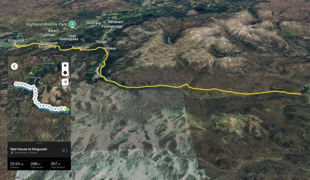
I would leave the Red House at first light the following morning and head due west alongside the Geldie Burn before transitioning into Glen Feshie. The distance to Ruigh Aiteachain is far too insignificant to merit a second overnight but I’d have a late breakfast and a short break at the bothy. I would then cross the river and head up through the forest and over the hill to Baileguish, eventually joining the Speyside Way at Drumguish for the last couple of miles into Kingussie. There are a couple of southbound trains from Kingussie around lunchtime/early afternoon so no real pressure to make a particular time.
Overall, about 40 miles in distance between the two stages.
Day One
In the 24 hours prior, the weather forecast improved which boded well for the trip.
The train north was after 1100 which was all very civilised, and I arrived in Blair Atholl a little after 1230.
I headed along the main road and cut through the caravan park to access the path that goes up through the woods adjacent to the park, arriving at the Glen Tilt car park. Once across the road there, the imposing stone pillars that mark the gateway also mark the start of the main track up Glen Tilt.
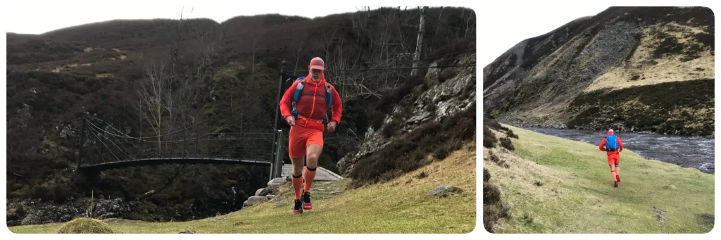
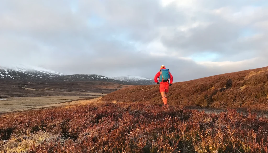
I tried to adjust my pace, falling straight into a walk/run strategy that I hoped would see me efficiently up the glen, at least until the Falls of Tarf. Although the entire route climbs the glen, it does so incrementally so there were plenty of runnable sections between the sharper uphill gradients. The weather was cool and with a chilly following breeze but no complaints! My pack was working well and all felt good.
The first major landmark reached after 8 miles is Forest Lodge. A forested section then follows ( who would have guessed?) and it was on this section that I was greeted by a trio of very friendly ponies who came galloping down the track to say hello.
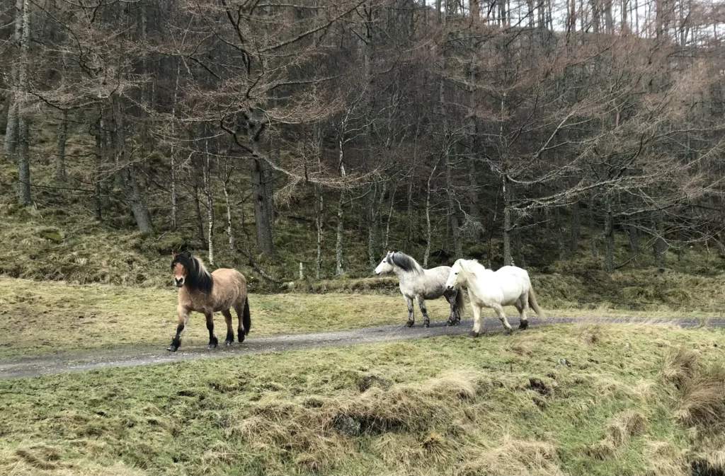
We briefly passed the time of day then I made my excuses and left, continuing with my established good progress up the glen.
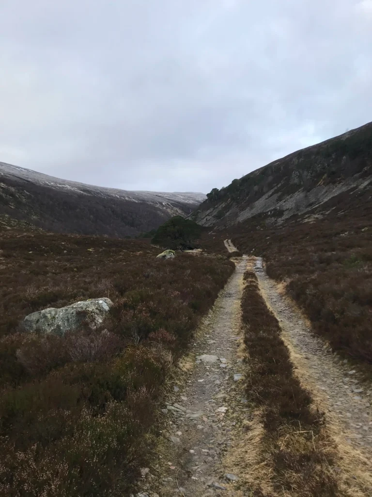
About a mile before the Falls, the track changes markedly, becoming a much rougher and wetter single track. It looked very much like dry feet were not going to last much longer.
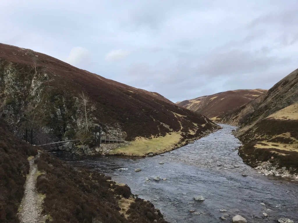
I arrived at the Falls of Tarf after 12 miles. I have seen the falls in more impressive form so once across the old bridge I just carried on after filling up with water at the river.
Here the glen narrows, almost to a steep-sided gorge, and the narrow path undulates along the north bank of the river. The amount of water across the path was increasing all the time so by now my shoes and socks were soaked through.
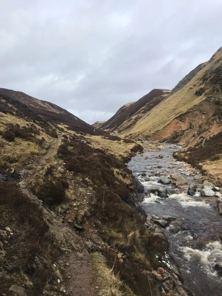
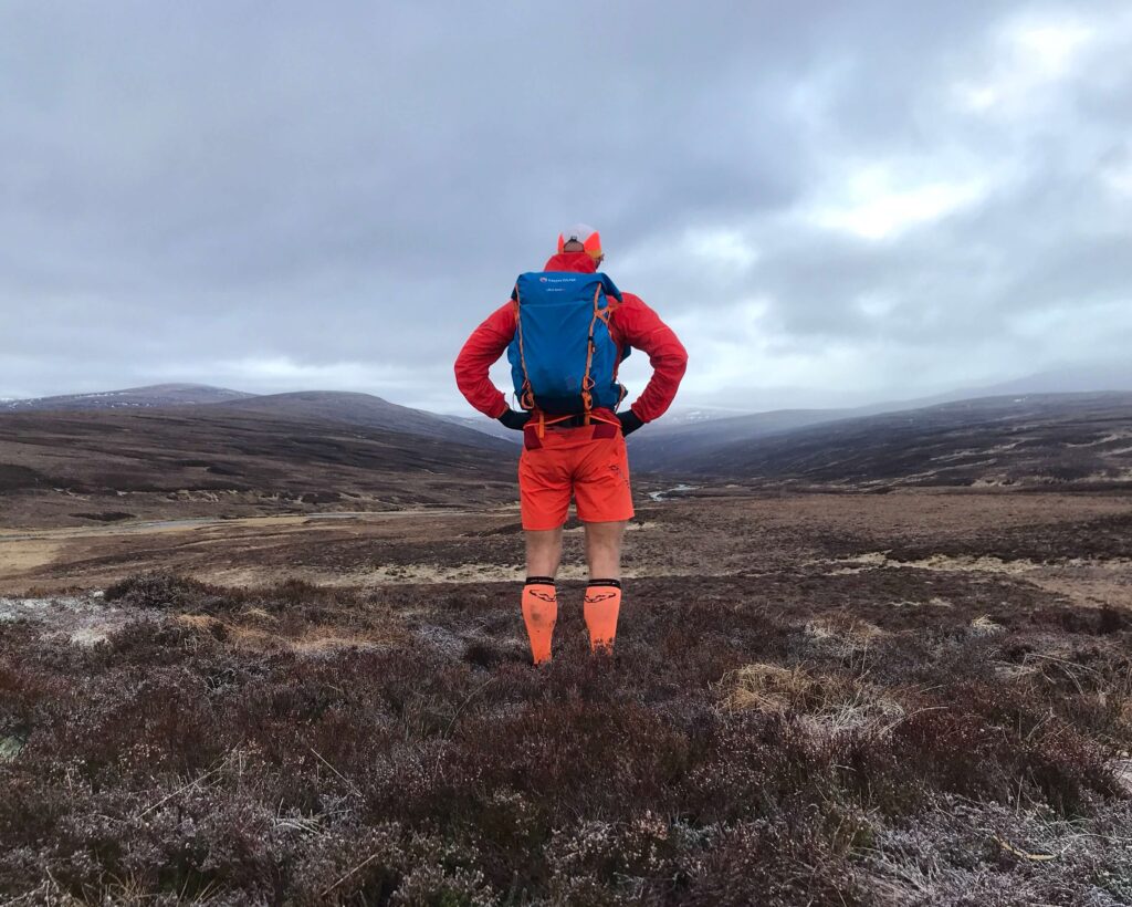
After a couple of slower miles, the path starts to level and the glen opens up again into a more expansive scene.
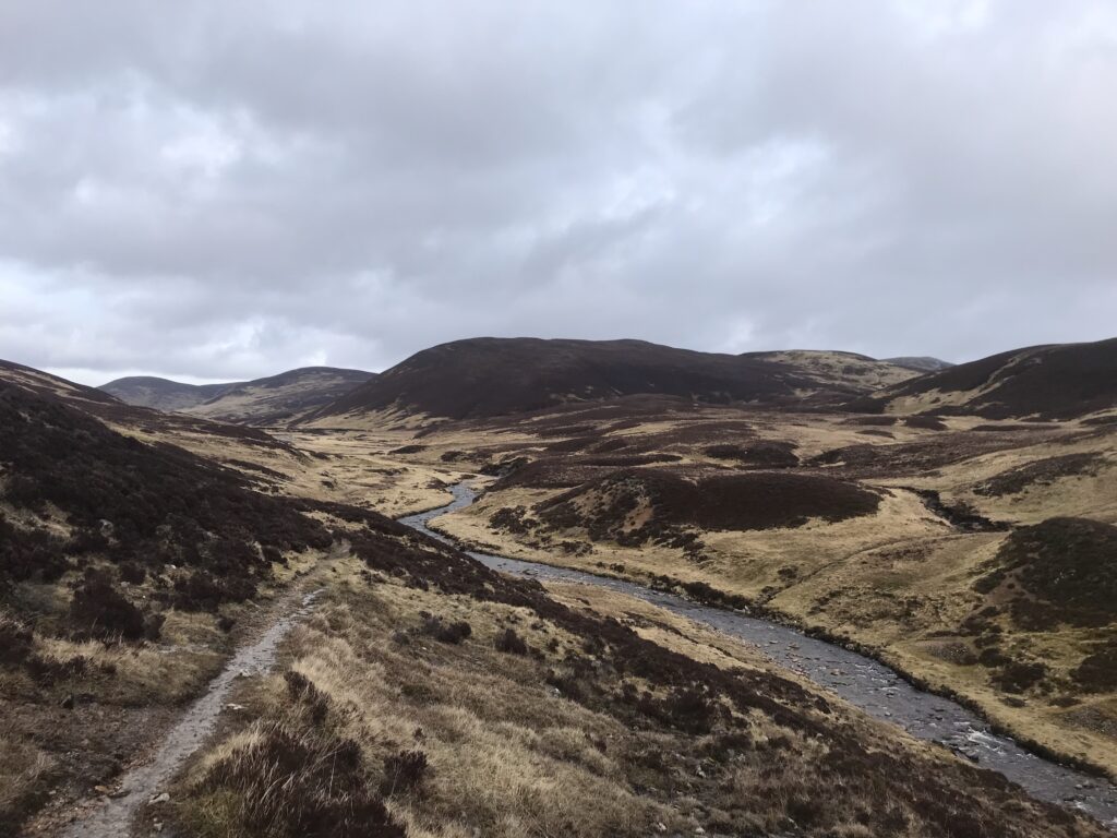
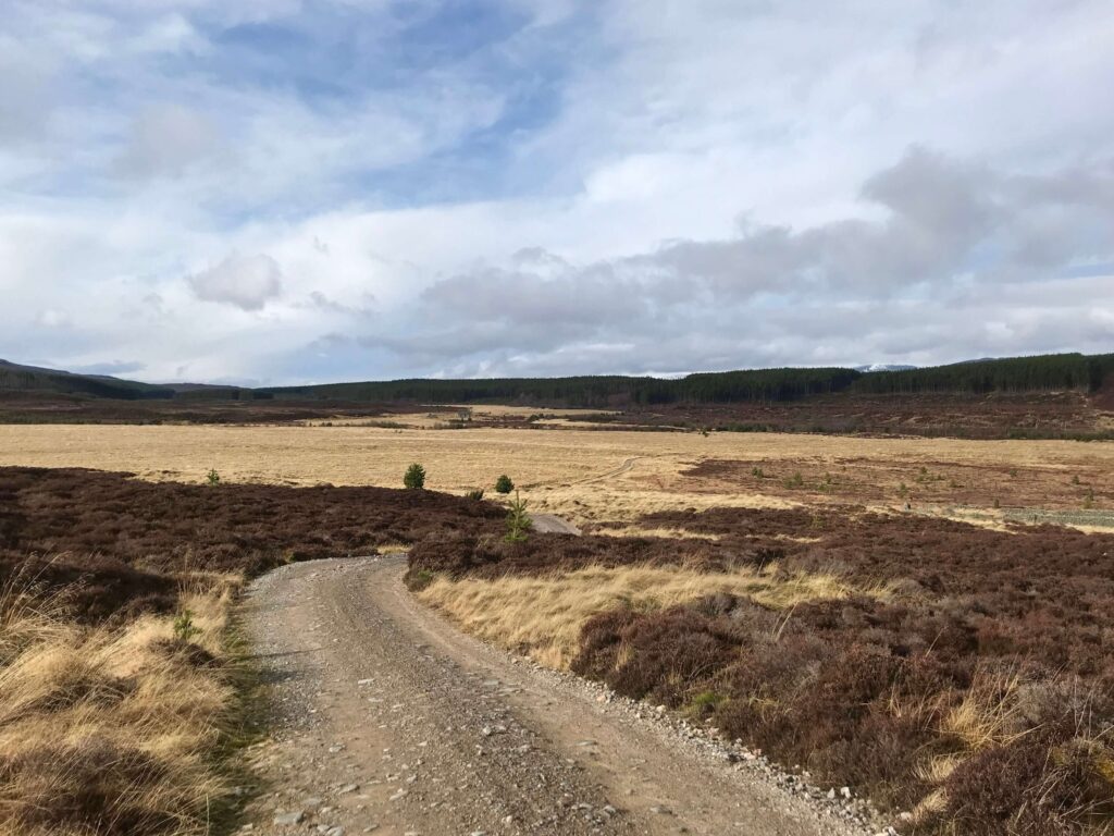
I didn’t notice exactly where the watershed was, but it was in that next section and before long a gradual descent began on the other side. The path had veered off the hillside in a number of areas, down into the wet and very boggy grassland so I was more than happy when the 4×4 track was eventually reached.
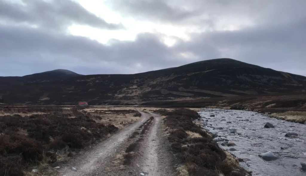
By now, I could see the forest that adjoins the bothy, so I knew I had a couple of miles to go at best and these were mostly runnable on decent track. The downside however were the three river crossings between me and the bothy! These got ever wider and deeper in parts, above the knee in some places, and the water was COLD!
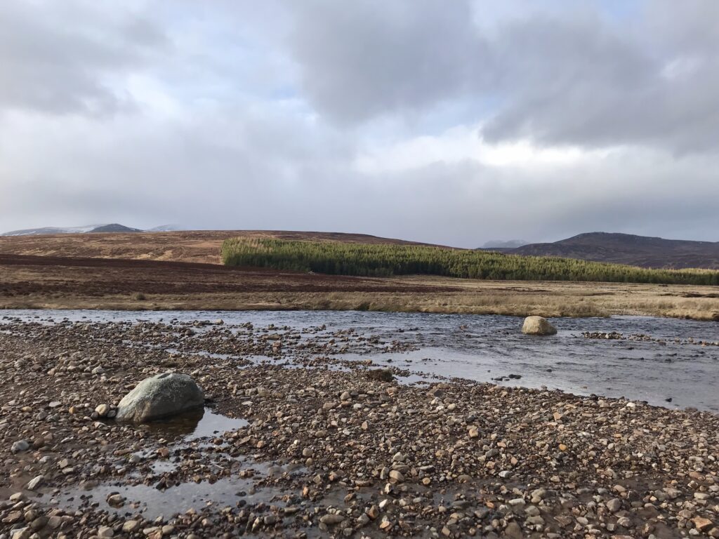
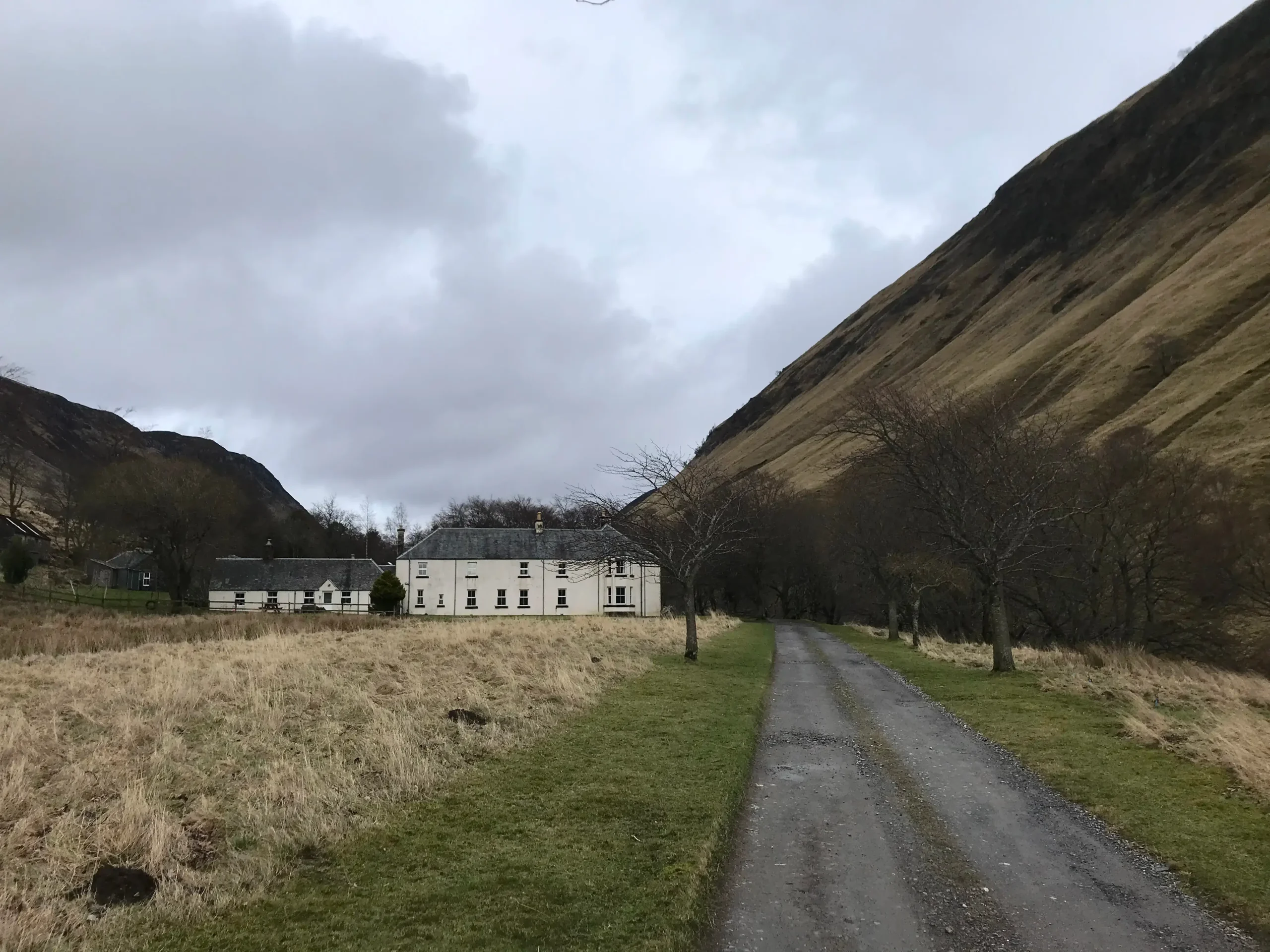
So, it was with very wet feet that I ran up the last bit of track to the bothy. A very welcome sight although I had thoroughly enjoyed the journey and had felt strong throughout.
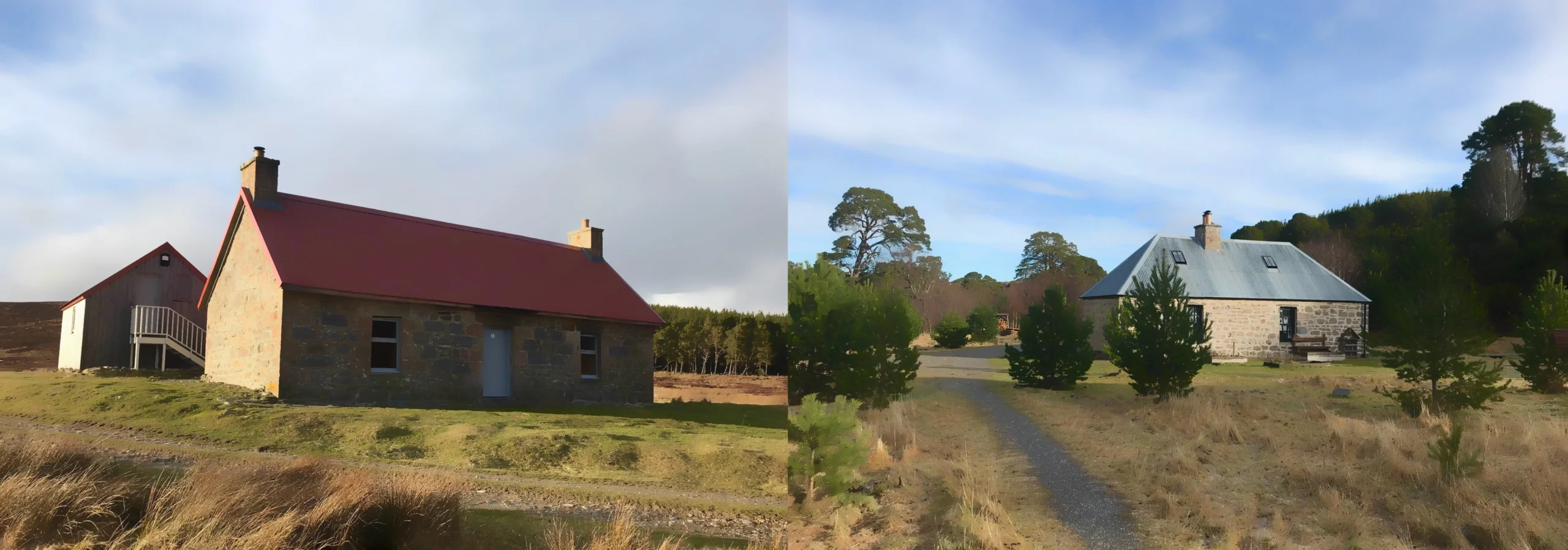
It was about 1630 at this time and the bothy was empty and was to remain so for the duration. A real result!
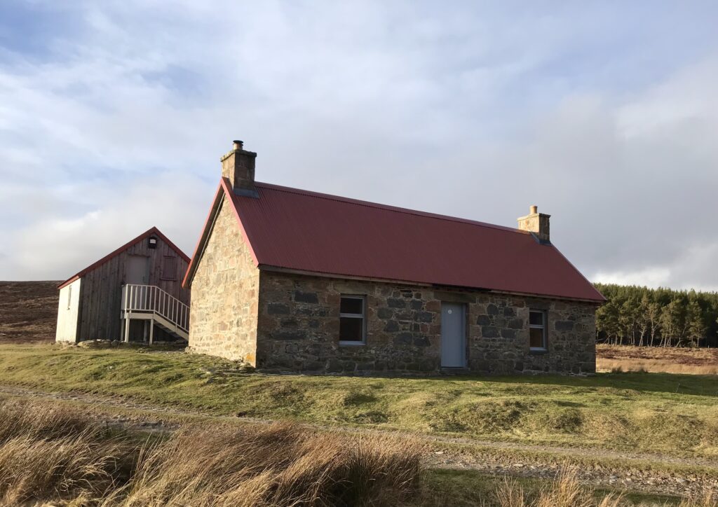
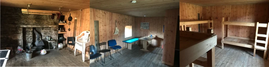
Inside, it is as well appointed as any bothy I have seen although I confined myself to the bunk room as I would be able to spread my stuff out and I would also spend almost all my time in my sleeping bag for warmth.
Overall, a really enjoyable evening and once I had eaten enough, the internal furnace came on and I was warm thereafter and throughout the night. I turned in to sleep about 2200 and slept on and off until it was time to stir just after 0600.
Day 2
I ate in my sleeping bag and gradually packed my stuff, prioritising what I could pack without getting out of the sleeping bag. The thermometer on the wall declared it to be 2 degrees C inside so probably about zero outside.
I was pretty much ready to go just after 0700 and it was already sufficiently light to start moving.
The legs were somewhat stiff but the first couple of miles were a gradual uphill on good track, allowing me to warm up.
The climb continued and slowly the sun came up behind me.
Eventually, there is a turn off the main track onto a more indistinct single track which starts to veer up and away from the Geldie Burn. The next three miles or so on this path were hard due to the amount of ice, surface water and bog to be negotiated. My feet were already soaked by the time the first proper water crossing came!
The endless plod on difficult ground was taking it out of my legs earlier than I would have wanted but at least I knew it was downhill into Glen Feshie.
The downhill was preceded by the crossing of the Eidart Bridge, over the fairly impressive double waterfall.
I have never been to the top of Glen Feshie so was slightly surprised at how much elevation is lost going down into the glen.
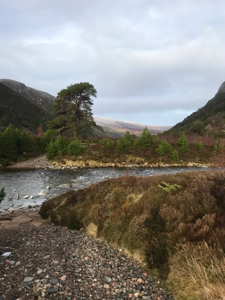
Nevertheless, the downhill was welcome, particularly once the 4×4 track was reached. After a couple of miles, the treeline was reached and this is where Glen Feshie comes into its own, being one of the remaining places where the old pine forest can still be seen.
Everything was going just great, and I knew I was about two miles from the bothy. Then the first of two river crossings appeared. They were only a couple of hundred metres apart and they were both wide and deep, but there was no choice but to cross. Because it took time to cross and sections were deep, up to mid-thigh, my legs were excruciatingly cold and painful by the time I reached the opposite bank.
Not fun! Wim Hof can take his method and ram it as far as I am concerned.
Eventually I reached the Ruigh Aiteachain bothy, again empty.
As per its reputation, this must indeed be one of the finest bothies in Scotland. Two dining/living areas downstairs with woodburning stove and stacks of cut wood. Upstairs, an extensive sleeping area, all of it immaculately kept.
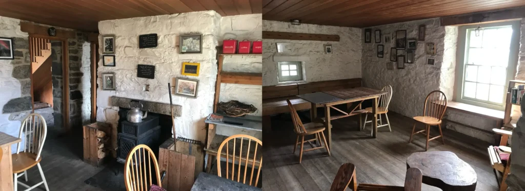
I enjoyed a short break to drink and refuel. The estate have really done a great job with the bothy and I was glad to finally see the inside.
The next few miles were familiar territory but always pleasant as the path weaves its way through the pine forest. About a mile before the Achlean road end I veered off to cross the bridge over to the west side of the river. That took me to the asphalt road which I followed a short distance before turning off up the forest track which would eventually take me all the way to Drumguish.
The sun came out and although my legs were done by this point, I have to say I really enjoyed this section. The area around Baileguish was particularly pleasant and completely new to me.
Once I arrived at Drumguish, it was a grind of about 3 miles past Ruthven Barracks until the final straight up into Kingussie.
I arrived in Kingussie about 1230. Given this was a 22 mile route over a lot of difficult ground on tired legs, I was pretty happy with the time.
I had an hour to kill before the train so a hot roll, full octane Coke and black coffee passed the time nicely.
Overall, a 40 mile route in around 24 hours, an enjoyable overnight in an empty bothy and some great running in some areas I have not been to before. And it didn’t rain once!